Wa! Wa! WaaaaaCHUsett! If you lived in New England in the 1990s you knew the jingle of central Massachusetts’ biggest ski area by heart. It was heavily advertised during the season and if you didn’t know quite exactly where it was situated, you knew the name. The jingle is still around, and the ski area is still quite popular, known for its snowmaking and night skiing from a 2000-foot summit.
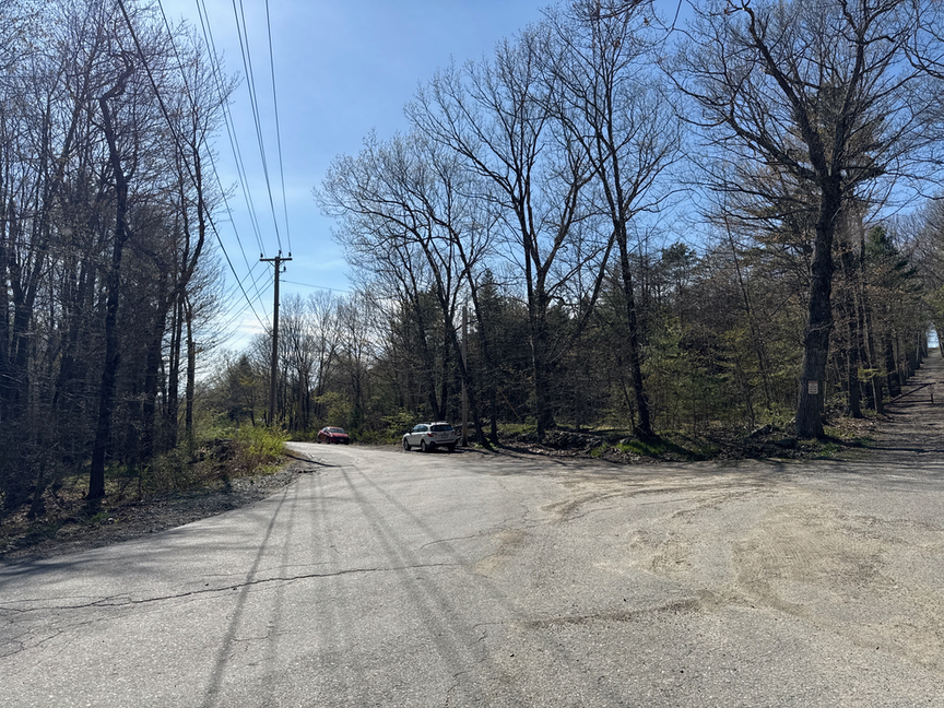
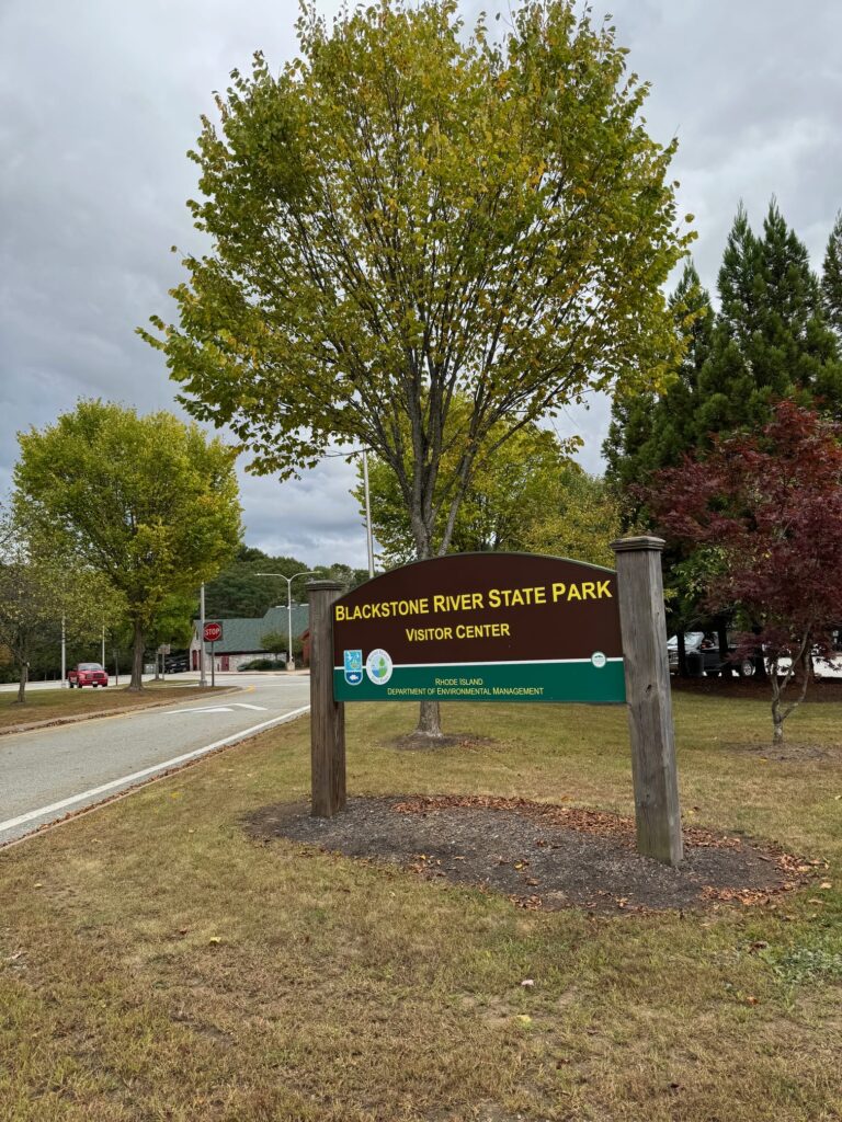
The ski operations take place on the north side of the mountain. I decided to hike on the south side, hiking along the west side of the hill and then up and over to the summit. This is a very easy park to get to and parking is plentiful, especially in the off-season. The quick way to get there is via the Massachusetts Turnpike I-90, which cuts through the middle of the reservation. I worked my way south and parked at a small lot with room for half a dozen cars, one of many cutouts along the road that you’ll find circling the base of the hill.
Typical of a lot of New England hills, there’s a road running all the way to the top, so if you are looking to operate from your vehicle, or want to do a SOTA with some heavy gear, you can park just below the summit and haul your equipment up the minimum required climb.
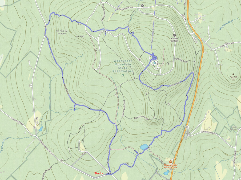
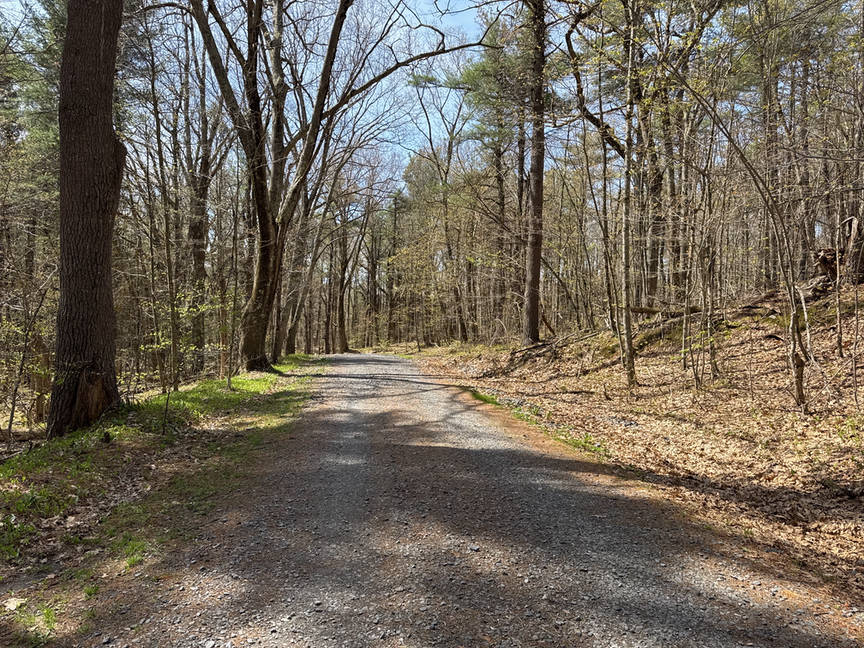
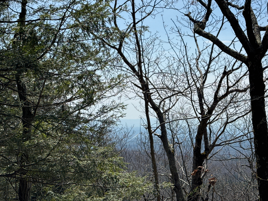
Wachusett is a relatively small park, and it would have been a short hike if I’d decided just to walk straight up the hill. Instead I decided to circle around and enjoy the day, a beautiful 70ºF sunny spring afternoon. The trails here are broad and well-maintained slope gently upward for quite a distance, and it’s easy to forget that you are climbing.
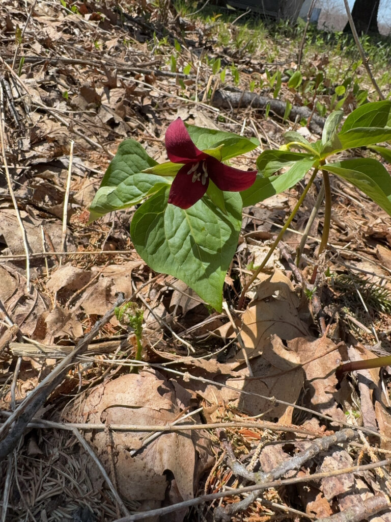
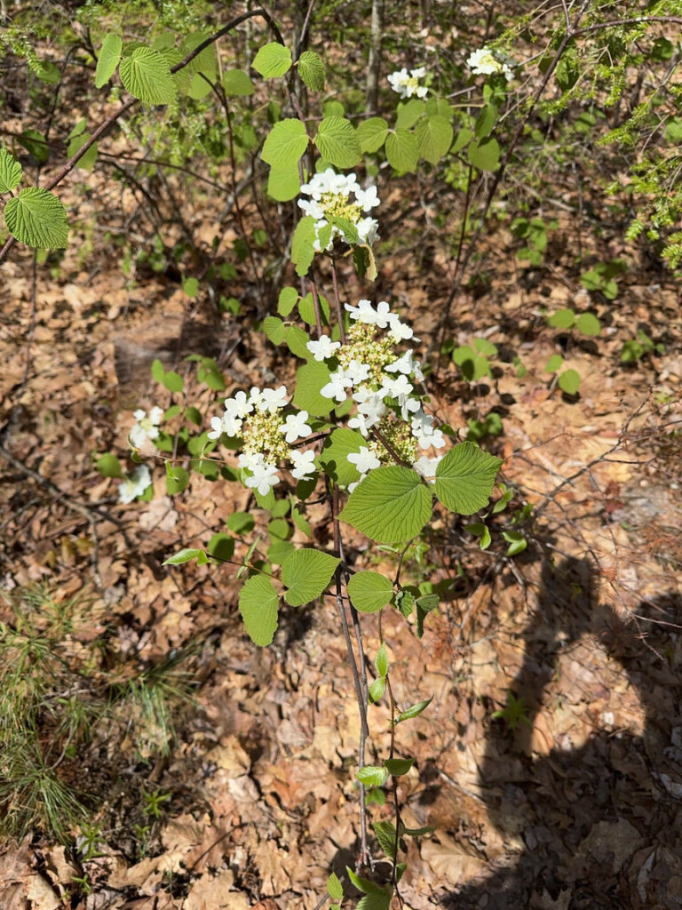
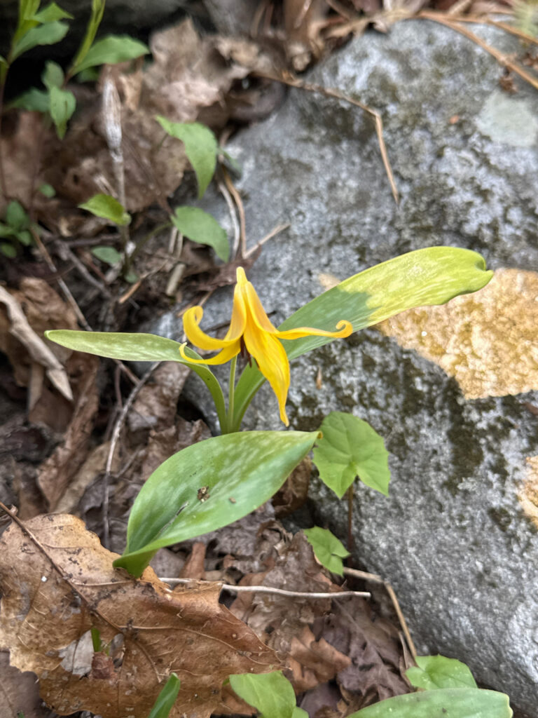
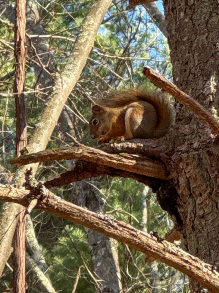
This is springtime in New England, a magical time of year, and if you pay attention you can see signs of life emerging from the chill of winter. It’s still a little early for lady’s slippers (which will draw hundreds of hikers) but wood lilies and trilliums are up and are just as lovely.
Mt. Wachusett is a monadnock, a term used for single, dramatic peaks rising out of an otherwise relatively flat area. Mt. Monadnock and its cousin Pack Monadnock in New Hampshire are also excellent examples. Geologically speaking, this area is made of very old rock, mainly schists and gneiss, deep metamorphic material that was uplifted several times over a period from about 400 million years ago to around 200 million years ago. It’s much, much older than ranges to the south and west — those were formed from layers of basalt that were laid down as the continents that would become North America and Africa tore apart and subsequently uplifted and eroded. To some extent, the shists defined the eastern boundary of the Connecticut River valley, forming the lip of a bowl.
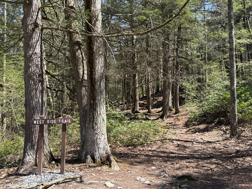
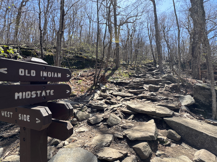
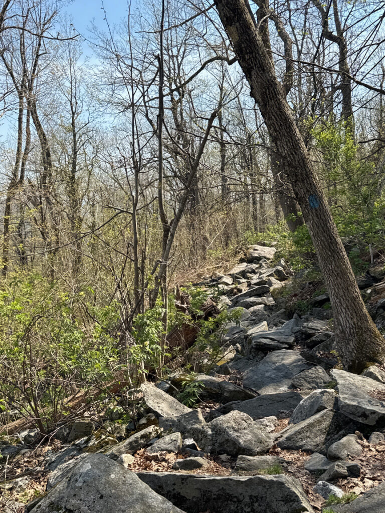
As you work your way up the side of the hill, the trail narrows and becomes more rocky. if you are on the route that I took, look for an intersection with the Old Indian Trail and the West Side Trail, the latter of which will take you up to the next terrace. While I certainly enjoy a nice walk on a broad path, this is where things start getting interesting!
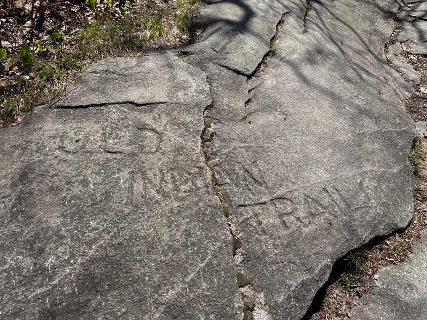
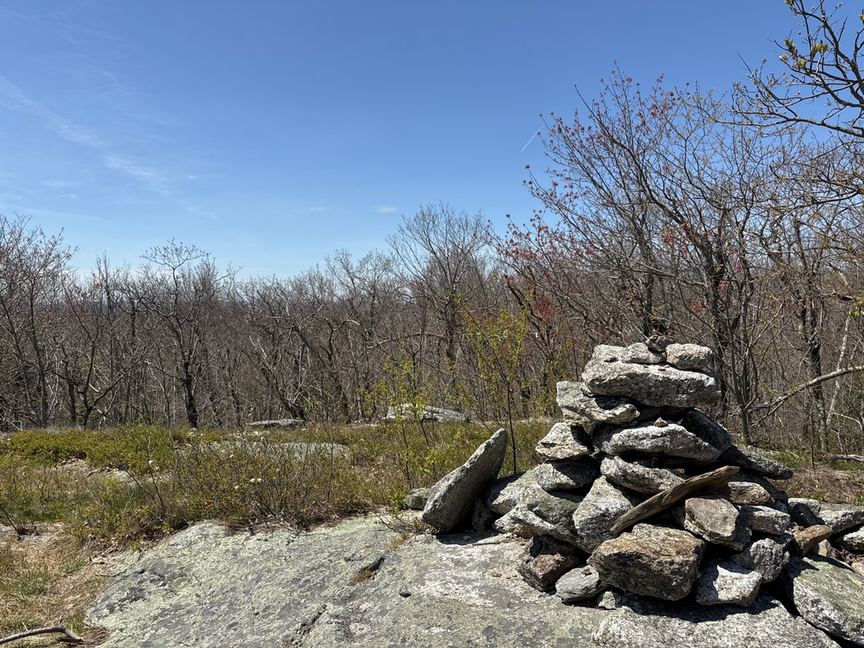
By the way, if you happen to find yourself at this intersection, look around at the flat stones on the side of the path. Several have been carved with names and dates spanning into the 1800s. I love finding these little pieces of history sitting out in the open!
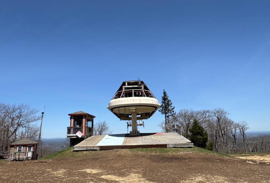
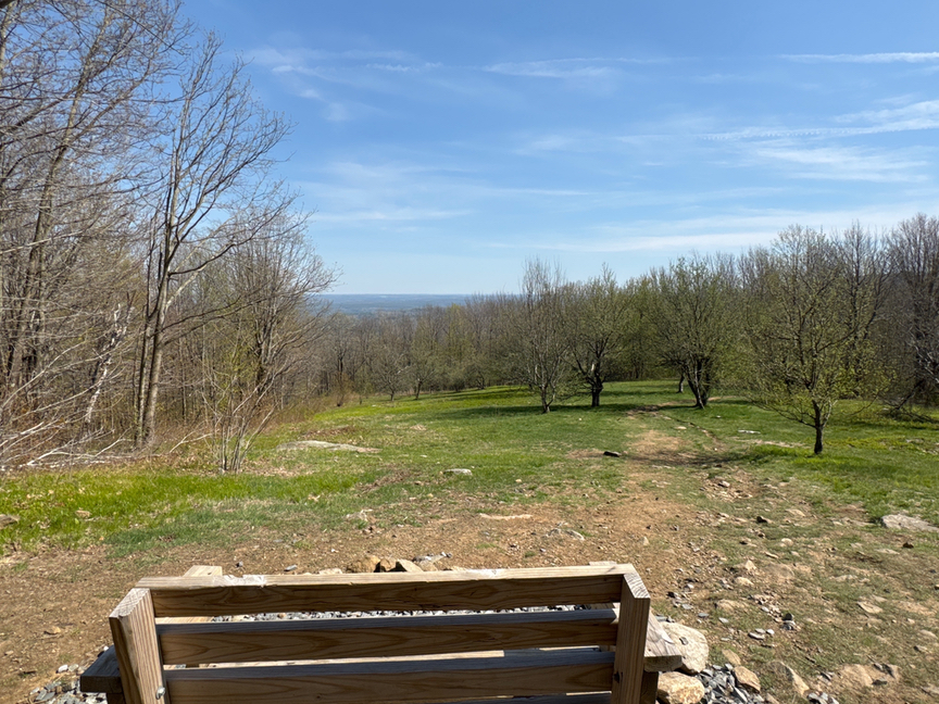
The summit itself was crowded the day I visited, ‘crowded’ being a relative term, I saw maybe a dozen people up top, and several more on the trail. A road leads to a parking area right below the summit, and a lot of folks drive up to have lunch or birdwatch or just enjoy the day. There’s a ramp to accommodate wheelchairs. A small communications tower sits right at the peak and has a platform about ten feet high that is open to the public. And, like just about every other peak I’ve visited, the US Geologic Survey marker has been stolen. The fine is only $250, so I guess it is a good souvenir.
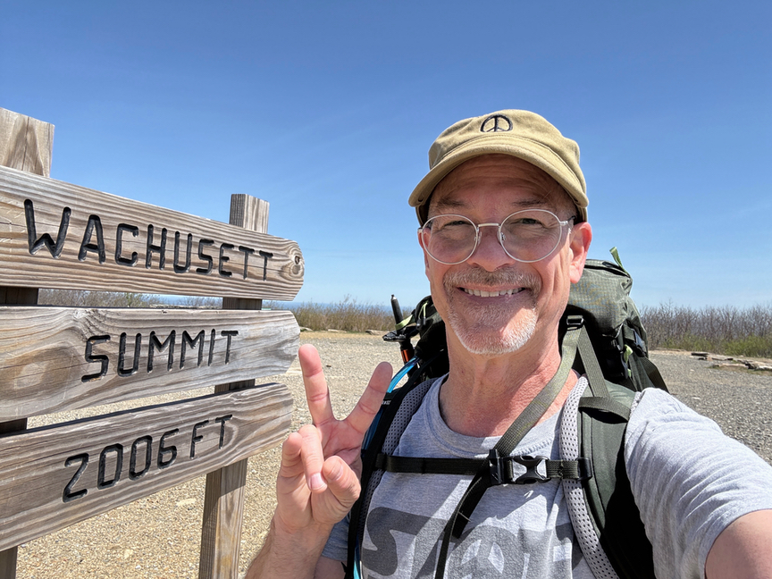
This was both a POTA (US-4368) and a SOTA (W1/CR-001) operation, and I set up the KX2 with a 17-foot whip on a Gabil tripod. I’m only using four 15-foot radials right now and I am thinking about improving my radial coverage, but I also think that there’s a point of diminishing returns that is pretty close to where I’m at right now. I typically am out in the woods for a hike, sometimes all day, and the POTA op takes up maybe half an hour of that — I’m really just looking for a dozen in the log and then I’m back on the trail. The current setup gets me there fairly quickly, but I’m wondering if I could improve my reach a touch without adding a lot of weight to an already heavy pack (32 pounds for this trip).
I’d set up on a small table in the shade and in half an hour had 16 in the log, all on 20m, including one S2S contact with N4TU, who I think might have been participating in the W4 campout that week. With both lunch and the activation completed, I pulled it all apart and headed back down the hill.
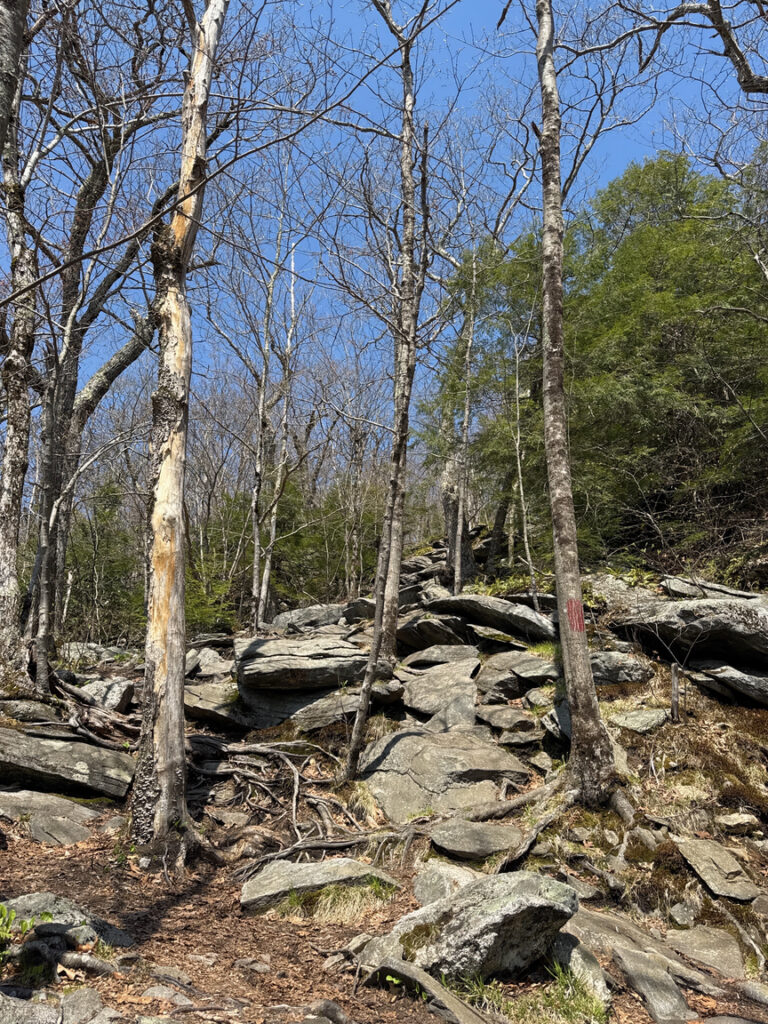
Rather than retrace my steps, I looped around to the east and then back south toward my starting point. This side of the hill is much rockier, and since you are heading down fairly steeply, can be a bit treacherous. The return trip is often a time of reflection for me, and today was a perfect day for it with sunshine, a gentle breeze, and a perfect temperature. What a joy it is to get to walk in these incredibly beautiful spaces and get to play radio!
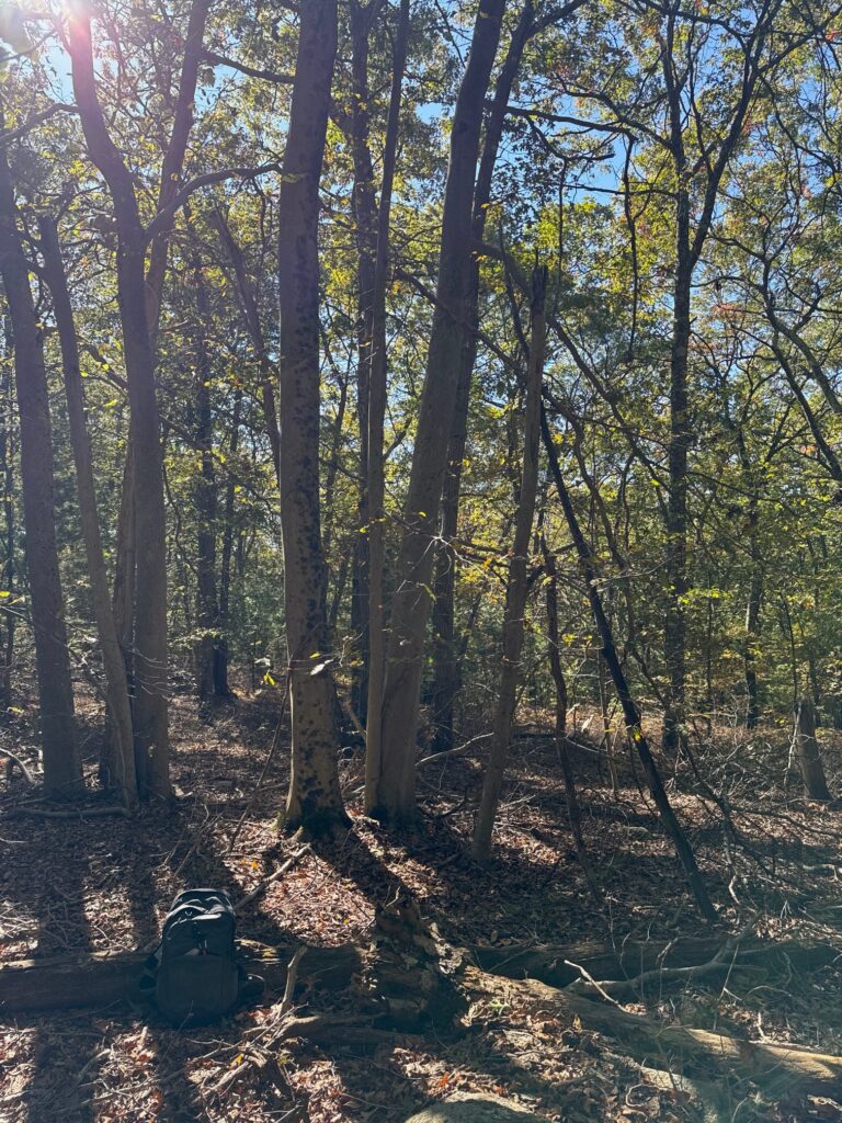
As you come down the hill the terrain levels out and you move out of pine and into hardwoods and meadows, and the path broadens out again.

Wachusett is an interesting park to activate. You can spend the entire day hiking up and down the mountain and never see any indication that it was a ski area. You can walk right up the ski slope for an easy climb. You also can just drive right up to the summit if you just want a quick mountaintop activation. I’ll be honest, it wasn’t the prettiest park I’ve been in, although it has its charms, but it’ll stay on the list of site to visit, and the next time I’m there I’ll use a different route for variety.
Views: 10

3 Responses
Lovely photos
Cool, always great reading your stuff Perry, well done again 73 Tony
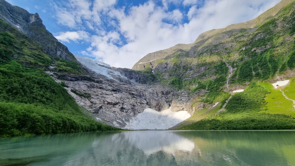
Kjetil, I think your Jostedalsbreen image is the current PN&R Photo of the Year, it is just stunning.