US-8402 Blue Hills SP
Apparently I'd set the station up ON the trail.
When you ask people in Boston about the Blue Hills, many will tell you that they were built up during the expansion of the young city as the harbor was dredged. One has visions of long trains of horse-drawn carts pulling tons of dirt and sludge up the hillside to clear the way for trader ships.
In fact, the Blue Hills, located to the south of Boston, were formed by volcanic activity hundreds of millions of years ago and their current structure is the result of a complex mix of tectonics, erosion, and, to be fair, a small amount of human activity. The state park encompassing the range is about 7,000 acres, and it includes an extensive hiking trail network, hunting areas, an Audubon Society museum, and even a ski slope. Its close proximity and easy access to and from Boston make it a very popular destination for day-trippers.
Much of the structural work in the park – trails and clearing and buildings – was done by the Civilian Conservation Corps (CCC) in the 1930s, as is the case in many of the state parks in the country. Many of the structures are still in daily use, a testament to the skill and dedication of those workers.
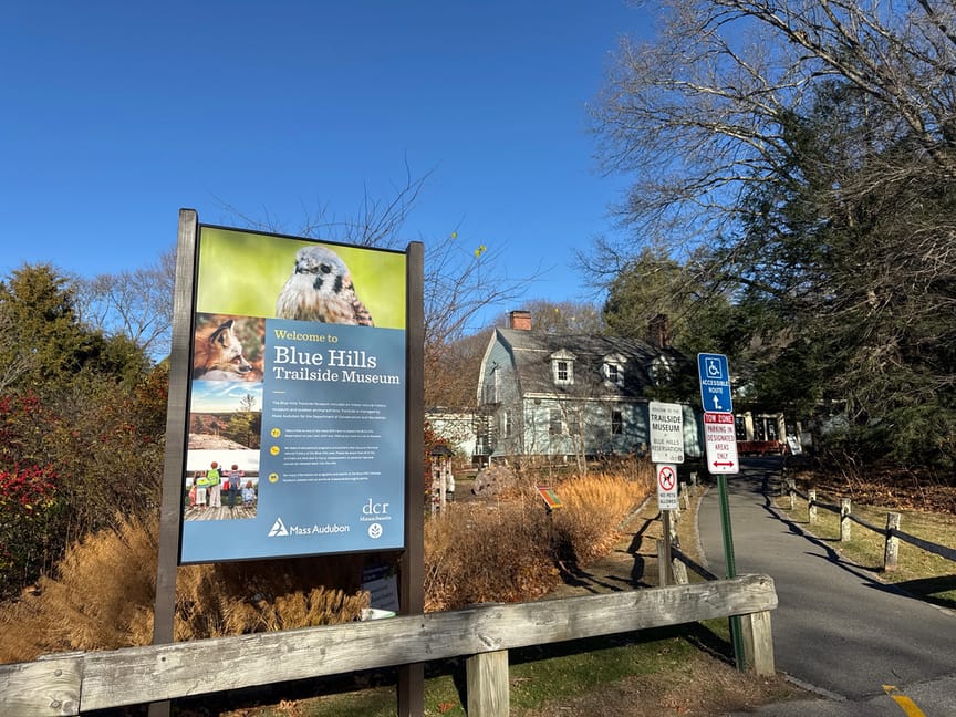
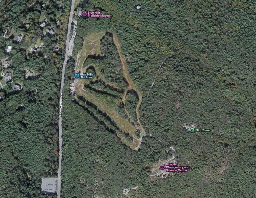
There are quite a few ways to get into the park, and along the major roads surrounding the area you'll find small cut-outs where two or three cars can park in front of a trailhead. The easiest spot to park is on Blue Hill Ave near the ski area, about one mile from the exit on I-93, where there are spots for a few hundred cars. This is a very popular destination in the summer and winter and it isn't unusual to see the lots full on holidays and weekends. The lot closest to the ski slope and the museum will put you at the trailhead for the primary trail to the summit. Note that as of the end of 2024, Apple Maps will direct you instead to the south side of the park – you are much better off at the ski slope on the north side.
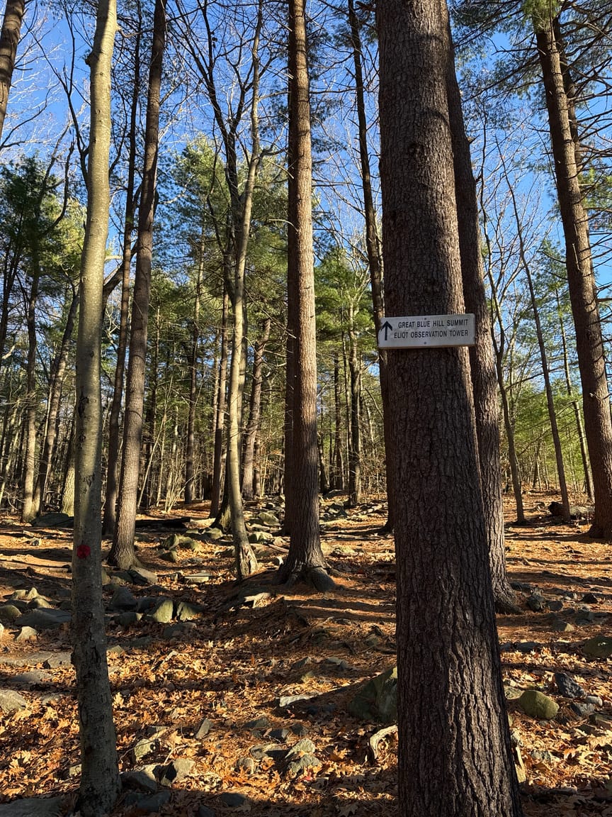
The most popular trail runs from the parking area up the Eliot Observation Tower, located just below the summit. On the summit is a weather observation station, one of the oldest, where meteorological innovations such as the radiosonde were developed. Check ahead of time for visiting hours if you intend to do an activation and some tourism.
The trail itself is wide and well-maintained, but it is also rocky and steep. The half-mile hike to the top will take 20-30 minutes for most people, and there are hundreds of side trails to explore if you are in a hiking mood. If you just want to get to the top without fussing with a bunch of rocks, you might walk straight up the ski run...it'll get you to within a few hundred feet of the weather station, and the Eliot tower is just around the corner from there.
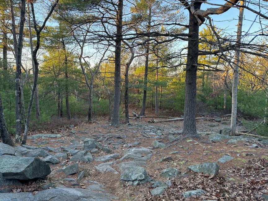
I love a good climb, though, so it was the rocks for me. The Blue Hills are so-named for their appearance in the distance, observed by early sailors coming into the area. The hills are mainly built up from volcanic activity, and the predominate rock is quartzite and a range of other metamorphic stone, with the occasional intrusion of more crystalline minerals.
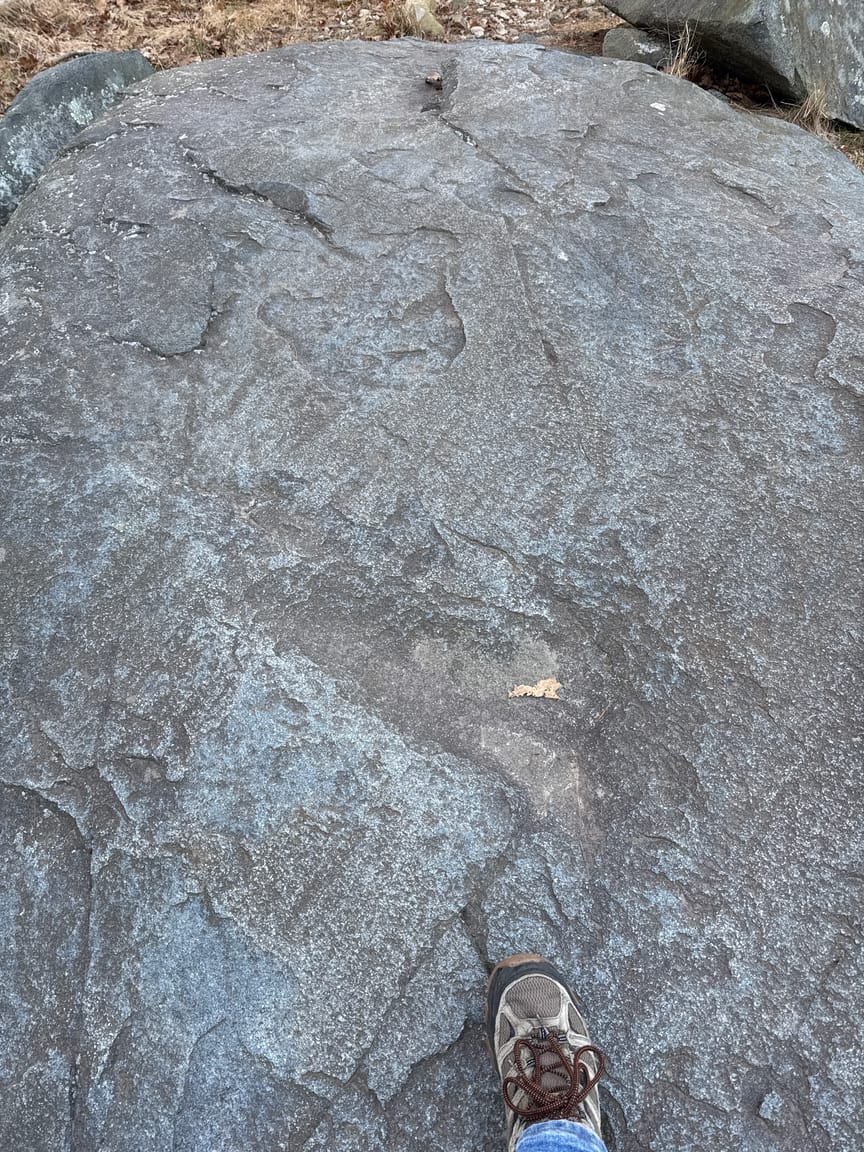
Glaciers had a hand here, too, and you'll see many examples of scratches left by glacial movement. In the photo below the shallow parallel scratches at roughly a 45-degree angle are the result of glacial scarring.
The climb up the main trail crosses an access road about two-thirds of the way up. The path is well-marked, but there are from this spot a few different ways to approach the summit. If you stay a bit to the left just after crossing the road, in five minutes or so you'll catch your first glimpse of the Eliot Tower, a structure built by the CCC and still in constant use.
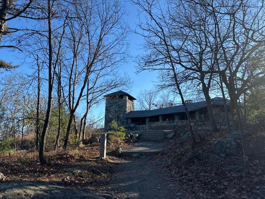
There are a dozen or so picnic tables here on all sides of the tower, plus a few just past a small bridge on the south side. The covered area is open on three sides with space for tables, and the turret is accessible by stairway. It was a bright late-fall day when I visited and there were several people walking dogs catching the view from the tower. I briefly considered setting up inside it at the top and even scouted out a tree to run the wire to from the window, then decided that it would likely be frowned on. It's a relatively small space and just about everyone who walks this far is going to also climb the stairs, so I quickly put it out of mind.
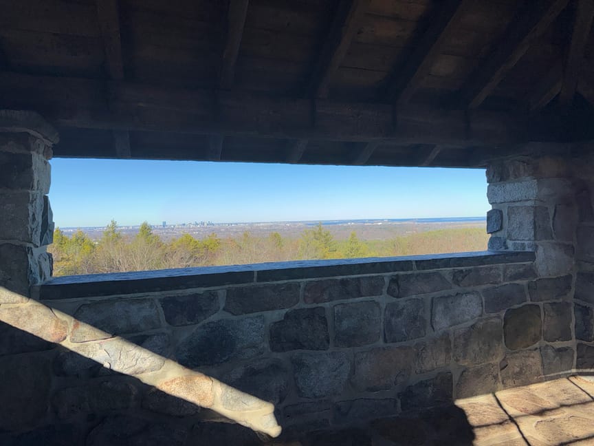
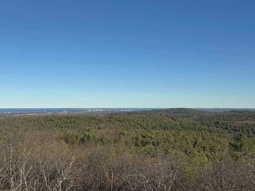
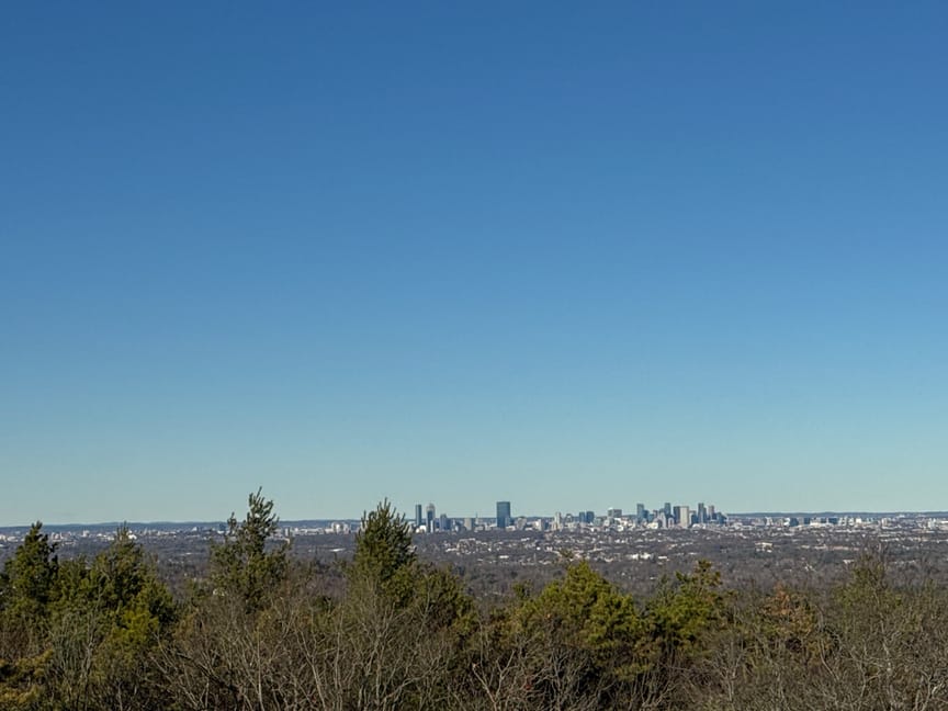
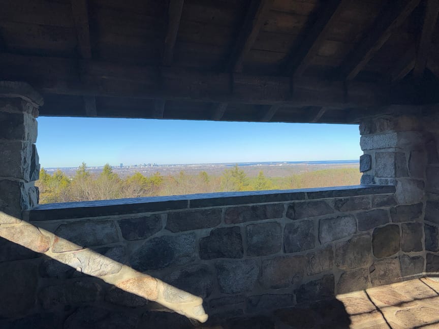
From the top of the tower the Quincy shore is visible to the south, the Boston skyline to the east.
A path along the south side of the tower heading west will take you around the corner to the weather station. I instead headed east and downslope a touch to operate from, mainly because I wanted to sit and look at the view of the city. It was a quick setup with my EFHW, and I spent about half an hour working four bands and enjoying the view.
It was the Monday before Thanksgiving and quite a few hikers were out and about. I knew this because I had apparently set up right on one of the main trails on the east side of the hill. I'd gotten there in my usual way, hopping off a trail and bushwacking around until I find a spot that looks good. As I was taking down the antenna I noticed that the tree I'd tied one end to had a big red dot on it, and, sure enough, so did the one next to the tree I'd tied to on the other end. This explained why so many people were walking by with puzzled looks!
For expediency I chose to walk down via the ski run. Be careful if you do this going up or, especially, down, as the hill is mainly in hay during the summer, and the long grasses cover quite a few rocks and gulleys that are waiting to twist your ankle. It was the only spot I fell on the hill when I dislodged a hidden rock.
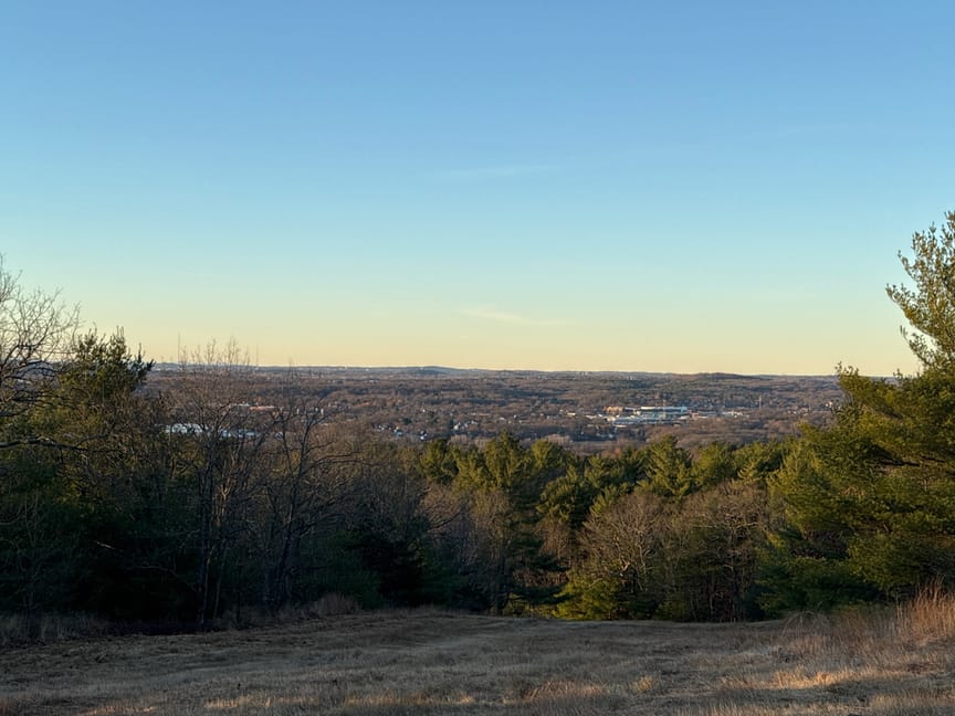
It gets late really early in the hills, and I headed back to the car around 4pm with the light already fading and the temperature sliding downward. It'd been several years since I'd been in the park hiking and I'd forgotten what a beautiful spot it is, I will be visiting this spot quite a bit more in the coming seasons. With 7,000 acres and a lot of varied terrain to keep the variety up, I'm very interested in how this area was used by humans in the deep past and what evidence there might be of their lives here.

There's a lot to do besides hiking at the park, but be sure to check ahead for hours and times if you intend to visit the museum or, especially, the weather station, which has erratic hours. It also is not the worst place to ski in the Boston suburbs, especially if your transportation is public.
If you look carefully in the picture above you'll see a long, long, line of cars – that would be workers commuting home from Boston, and it is a tough turn to get back to the highway from here at this time of day. For the most part we are a kind people, so your wait shouldn't be too long, though...
