US-7971 Blackstone River Valley National Historical Park, RI Side
This is a really weird park. It's very thin, more or less following the Blackstone river, and the main feature is a paved bike path that runs the length.
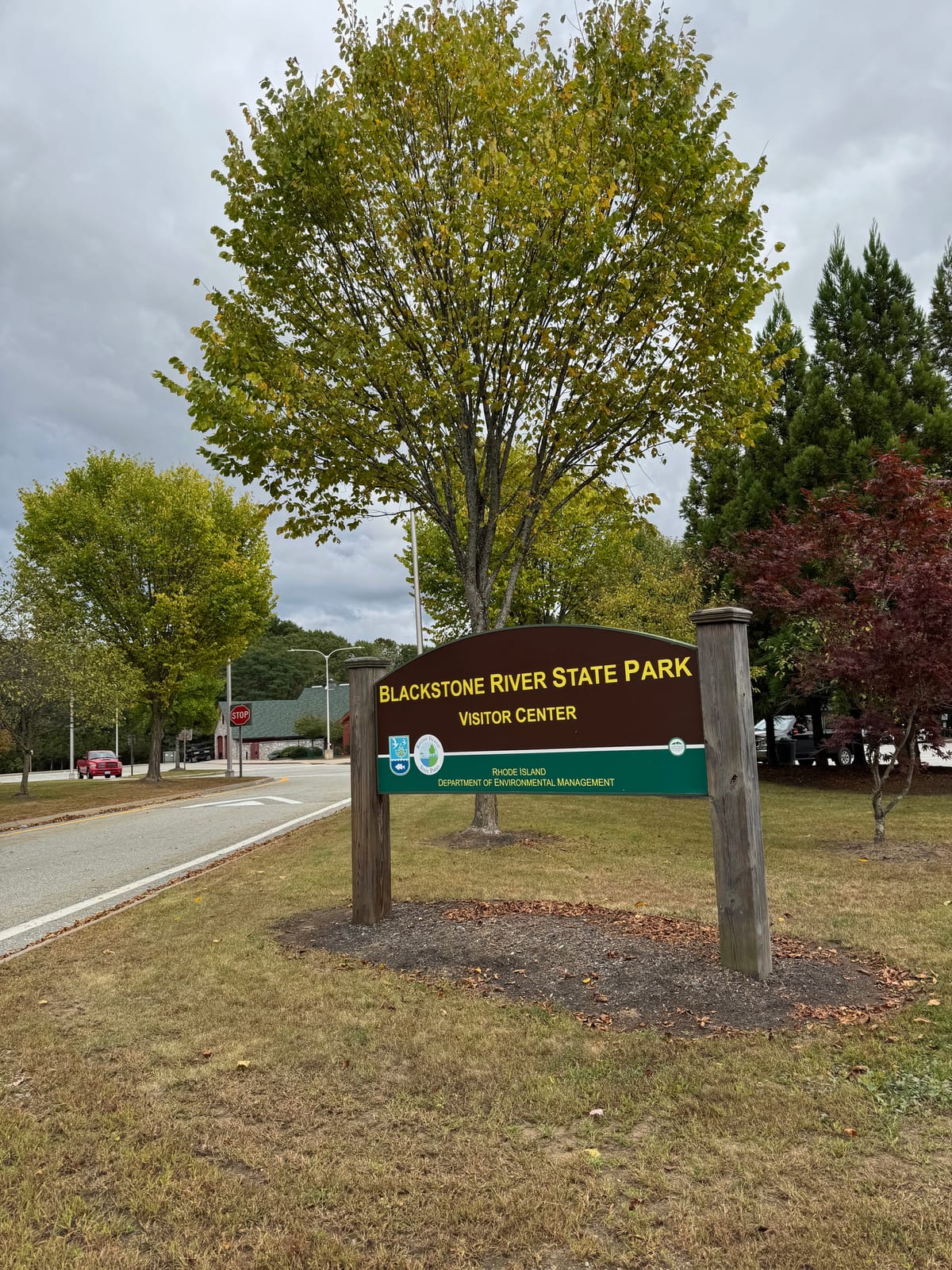
I stacked firewood most of the morning and decided to reward myself with an activation. I packed up the rig and a lunch and headed for Rhode Island and the Blackstone River Valley National Historical Park (whew!). It was my 15th activation and my first outside of Massachusetts. This is the activation where I learned about the +3dB advantage of working from Rhode Island – I recall growing up in Indiana as young ham, Rhode Island was impossibly distant and difficult to contact because only one old ham lived there and he was cranky and didn't want to talk to anyone. Now I'm the cranky old ham!
The POTA reference is at the northern end of the Blackstone River Bikeway, 18 miles of paved bike path along the river and canals. I've been on the path many times biking, there are some really interesting things to see, including early mill buildings, a small spillway, and an Archimede's Screw pumping station designed to move water across an elevation change without disturbing the fish.
Near the pumping station is a documented Paleolithic work site. The Blackstone is part of the larger Narragansett Bay drainage and it was an important route between the coast and inland locations for early peoples. At this site they were doing a little fishing and hunting, but it appears that it was mainly a workshop for stone points, and it was the debitage (flakes of stone) that first caught the attention of archaeologists doing a site survey for the pumping station. Current thinking is that at this site they were prepping stone blanks, points that were roughed out but not finished, then transporting them downstream.
Not too far from here is Iron Hill, one of two sources of Cumberlandite, a magnetic ore, in the world. The other is in Sweden. That's a story for another day!
Parking couldn't be simpler, you'll need to be on I-295 southbound prior to Exit 20. If you are coming down from the north you'll need to take an exit south of here, turn around, and come back up I-295 north. The entrance looks like a highway rest area, and in fact it IS a highway rest area, with an attached Blackstone River State Park. Stay right as you come off the ramp to go to the back side of the buildings. You'll see two Chargepoint electric car chargers, a bike repair station, and the head of the trail.
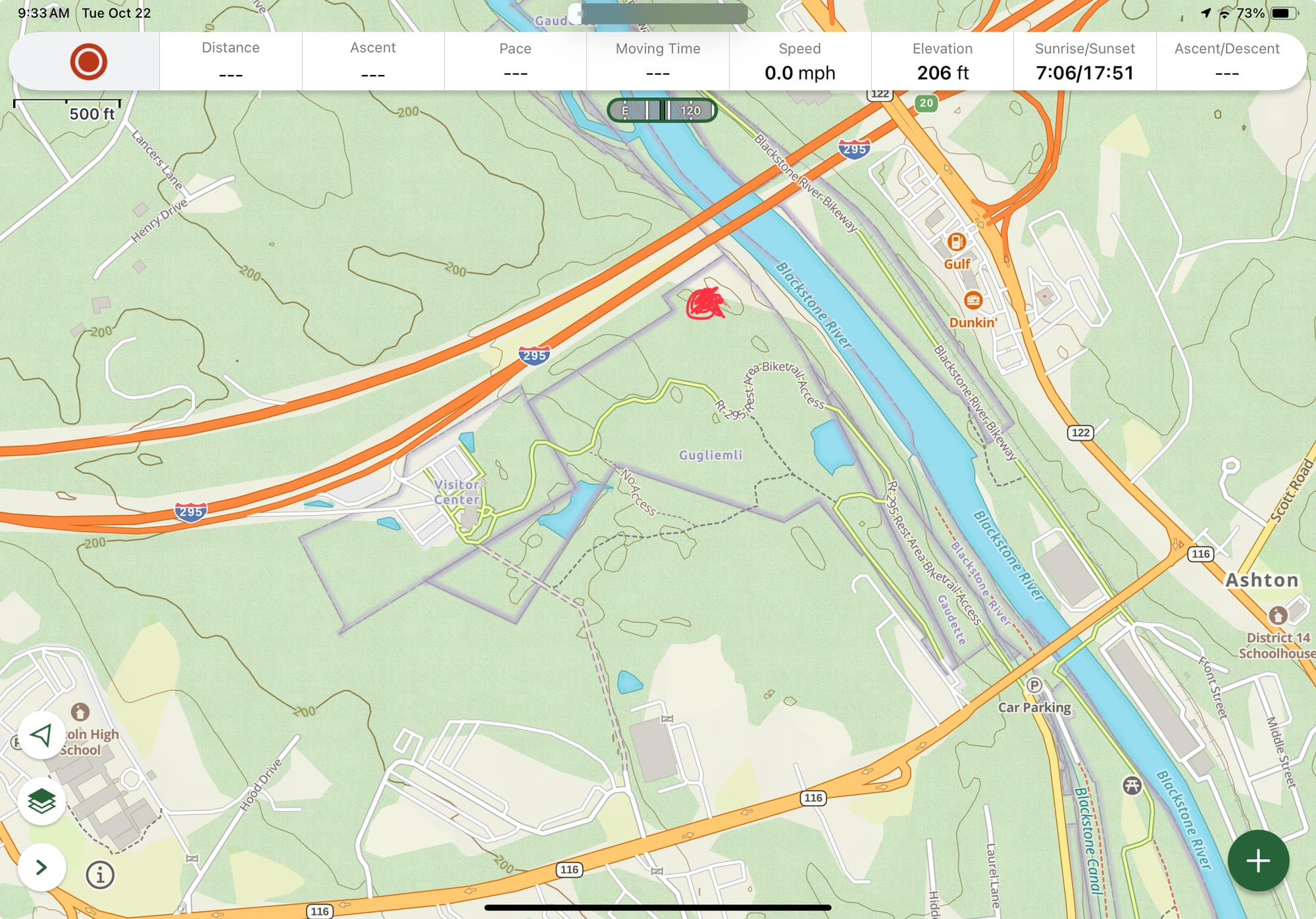
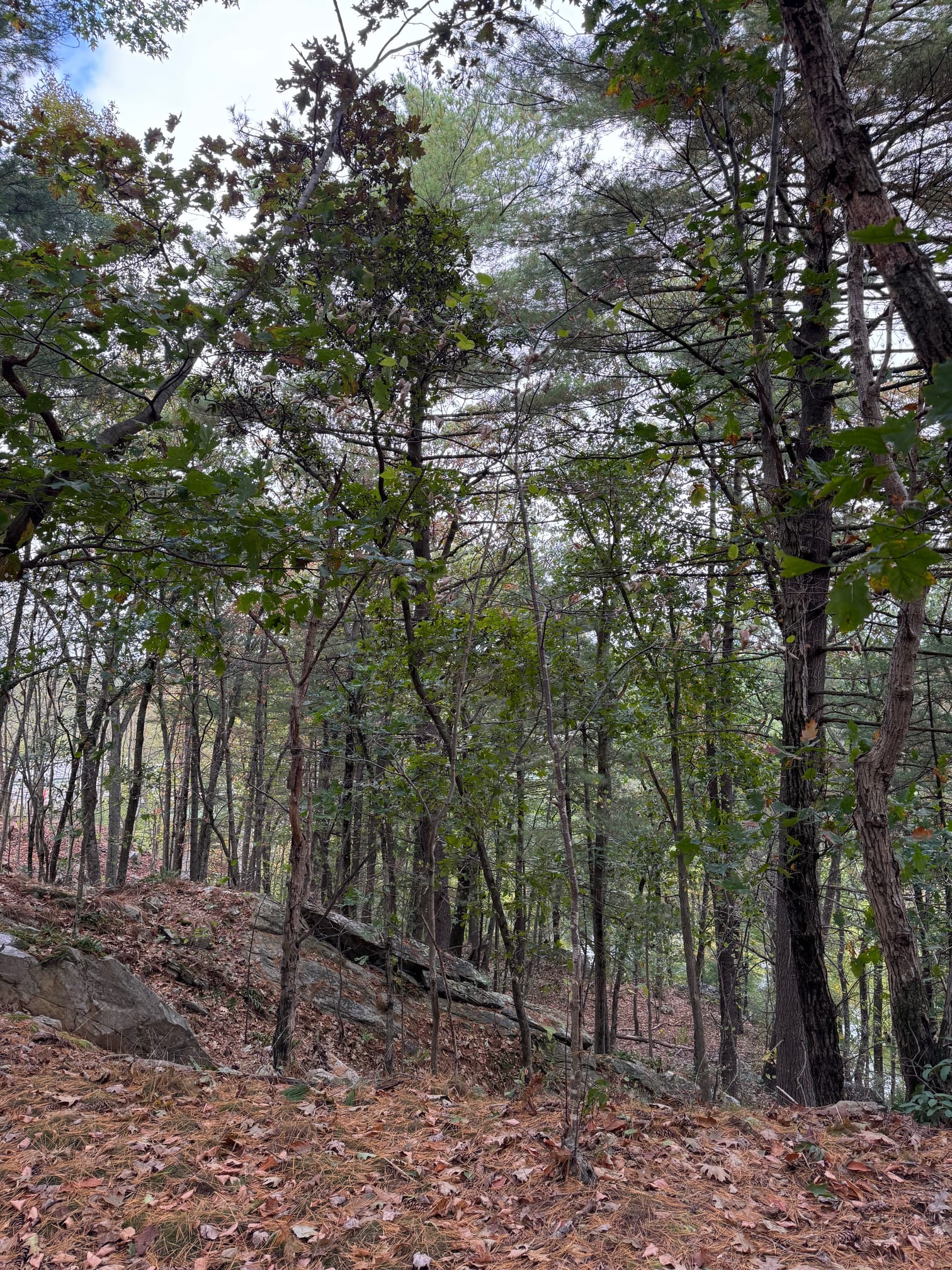
This is a really weird park. It's very thin, more or less following the Blackstone river, and the main feature is a paved bike path that runs the length. I walked in about half a mile down the path and then cut into the woods to find a spot. The north side of this park has maybe 40 acres of woods, mainly old pine, and it's really the only area that you can get well off the bike path. I went in for about ten minutes and settled on an outcropping of limestone that formed something of a palisade about 150 feet above the river. It was a nice river view and there were plenty of branches to hang the antenna on.
A BIG downside to this park is that if you are carrying your gear in, there aren't a lot of places to operate from that give any sort of privacy. The site I picked was off the path, but not by much. Worse, if you take a look at the map, that river view includes a bridge on I-295, and you are essentially right next to a major interstate. It was so loud with the noise of passing semis that it was difficult to use CW, even with the volume turned all the way up. I managed a dozen or so on CW and another ten on FT8, so the activation was a success in spite of the conditions.
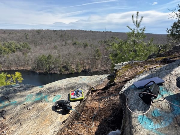
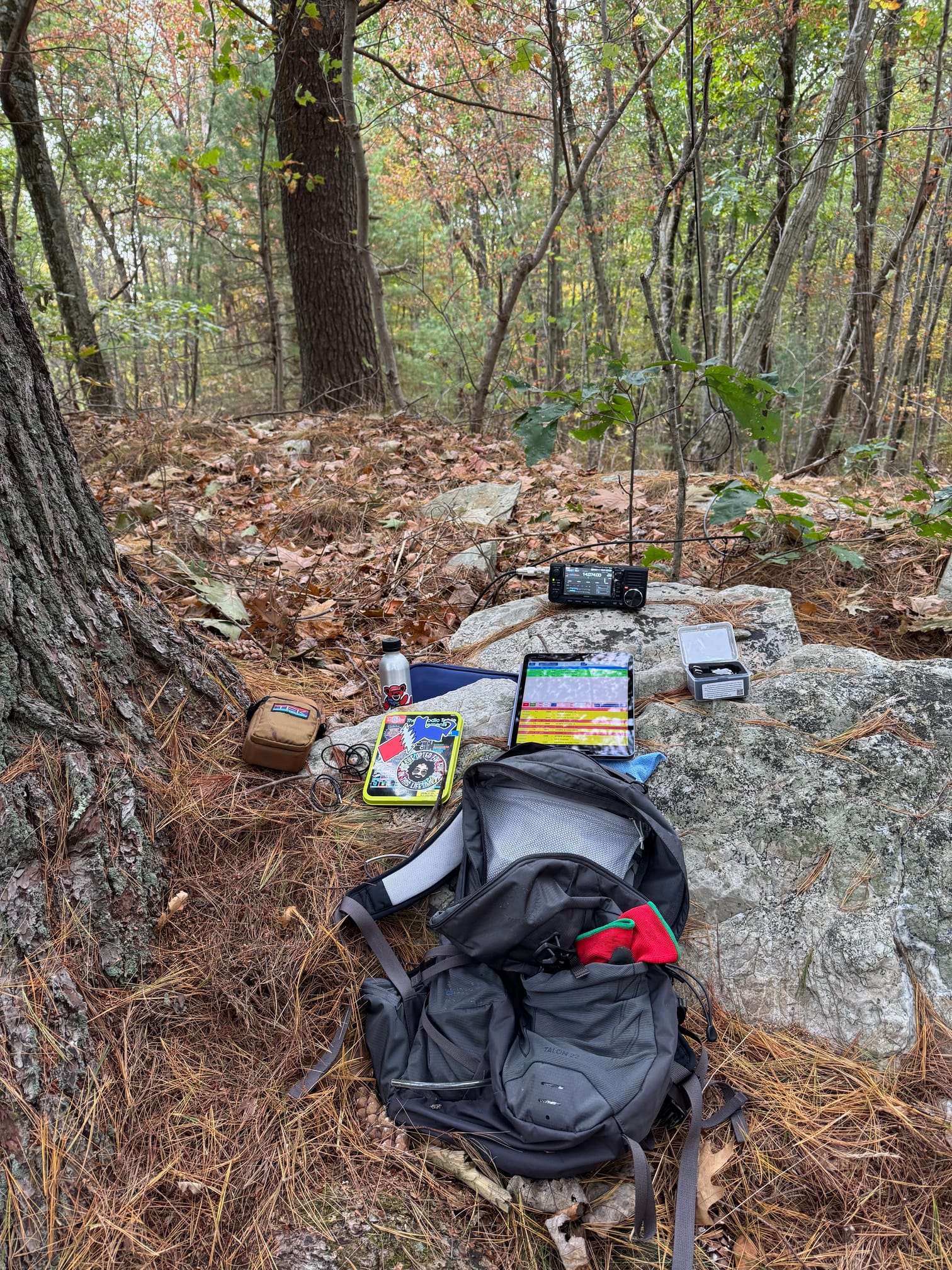
I used a 20m hamstick dipole for this outing and hung it relatively low in a branch, about ten feet high, hoisting it up by the coax. I prefer to mount the dipole on a tall pole, but in this case the poles were not to be seen. Here's the operating position, up on a limestone outcropping. Quite a bit of milky quartz here, too.
This would be a really great spot to bring your bike to, do an activation and then hop on for a pleasant ride. It gets a little crowded on the bike path in warmer weather, mainly folks out walking, although not so much up here on the northern end where access is limited. The Archimedes Screw and paleolithic site are just a few miles away. There aren't any markings for the archaeological site, it abuts the screw and is likely fenced in but the screw itself is interesting enough to go look at.
This park straddles state lines, the northern part being in Massachusetts and the southern in Rhode Island. When you upload your log to POTA.app it'll ask you which state you were in. I plan on going back to the MA side soon so that I can say I did them both. I'll certainly come back to the RI side, I pass it constantly as I go back and forth on I-295, and it's such a short walk in that you can pull off the highway, walk in and set up, do a dozen contacts, and be on your way home in all of an hour.
ID: US-7971 Blackstone River Valley National Historical Park (RI side)
Location: Woonsocket, Rhode Island, Providence County, Grid FN41
Activation date: 24 September 2024
Activated by: W1GRD
