US-6979 Arcadia Management Area
Like Goldilocks I tried each throne in turn.
You don't so much summit Mt. Tom as notice that you've been walking on flat ground for a while. It tops out at just 400-something feet, and the views are somewhat obscured by high brush and knots of scrubby pine and birch. This is definitely one of those attractions where the journey is more enjoyable than the destination.
The journey is through Rhode Island's largest wildlife management area, 14,000 acres of mostly untouched forest. Mt. Tom is in the western part of the park, and I decided to follow the Mt. Tom Trail from the Wood River up to the top, a hike of just under two miles. This trip really was about hiking – I spent about 5 hours on the trail exploring – but I also had the POTA gear in my pack and planned to spend some time doing an activation. It was the middle of December but temperatures were in the 50s and the sun was bright. We'd just had a little over four inches of rain in 24 hours, and I figured the trails would be wet but passable.
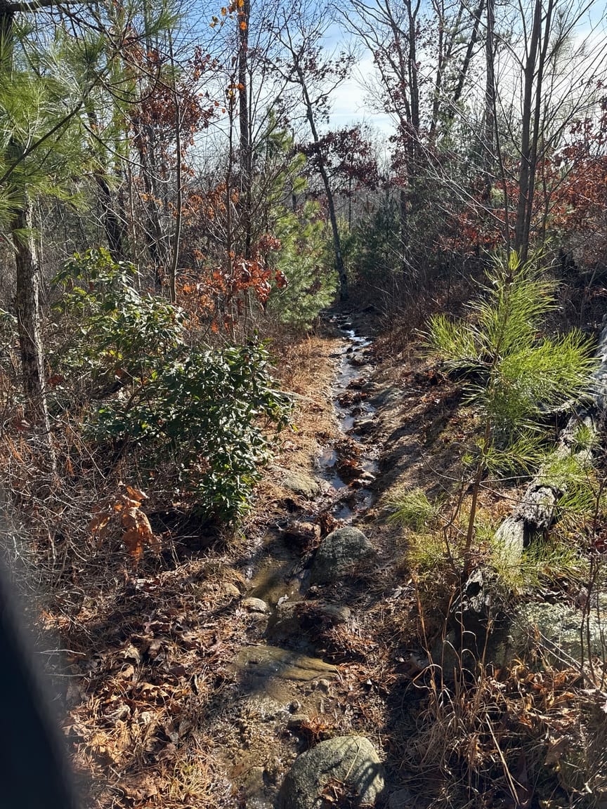
Only a few short sections of the trail showed running water. The larger issue was that the rocky path is covered by leaves, and they were wet and slippery, not so much a problem going up as coming down. Even the rocks were slippery in spots.
Parking at Arcadia is plentiful and varied. The management area is very large, encompassing several towns. As you follow the numbered roads around and through, you'll see many small cut-outs that will fit two or three cars, and a trailhead. Some are marked with a sign at a named trail, others are just small paths leading to a larger trail. Any of these is perfectly fine to put in at. I'd read of a popular rock-climbing area not far from where Mt. Tom Road crosses the Wood River, and the article mentioned a parking area at the bridge, which is where I ended up. The lot is about a mile south on Mt. Tom Road, itself a turn off of Rte 165.
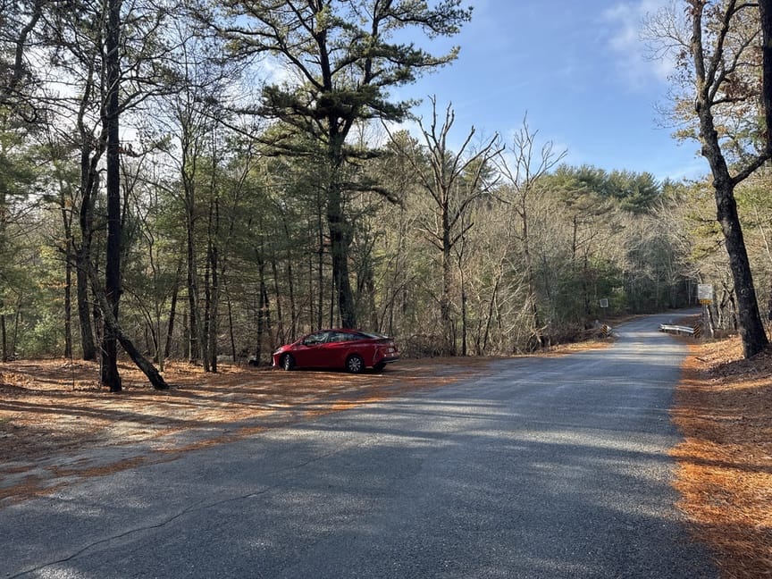
From the parking spot, just to the east (left in the photo) are the remains of what was likely a small water wheel. There are stone-lined flumes up the hill to the west that would have directed water through the mill area. To my eye these structures look older than similar features that I've sen in New England, and it leads me to believe that the area was settled relatively early. There are good resources here, and the Narragansett Bay system is close at hand, so it would make sense that this was an early area of activity. I didn't see much evidence of archaic use but I could feel the antiquity of the place. When the weather is warmer I'll head back for some proper surveys and exploration.
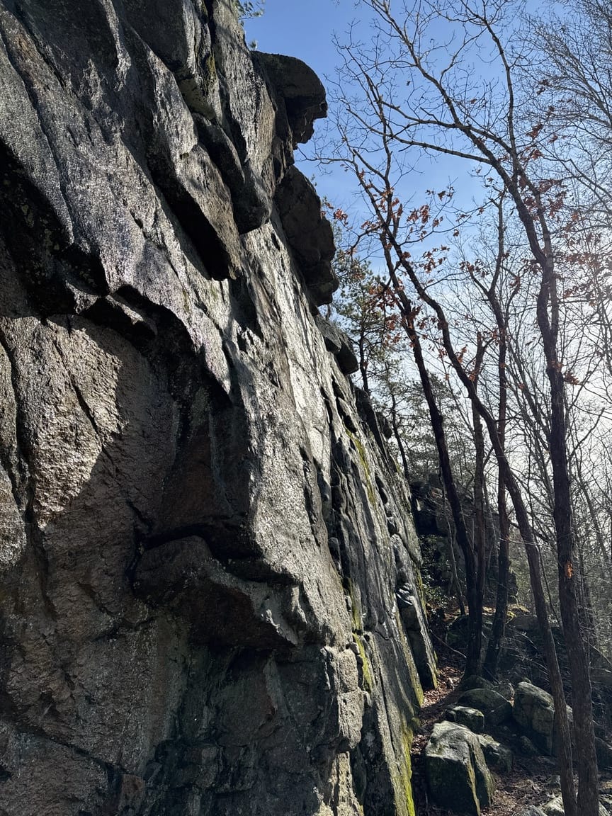
The rock climbing face is impressive. There are at least nine defined routes that can extend to 50 feet vertical. The routes are classed 5.8 to 5.11. This entire area is full of fascinating rock features – small caves and shelters, waterfalls inside rock holes, outcroppings of quartz – and I spent a good hour climbing, poking, and uncovering things.
It was tough to leave the climbing gallery but I eventually put the sun at my back and worked my way toward the summit. The trail is quite varied, in some parts moderately steep on bare rock, and others flat and sandy, especially as you approach Mt. Tom itself. If you stay on the trail with its white blazes you'll need to cross Rte. 165 about a mile in.
Take some time to notice how the rock is folded up. When you are standing on a ridge, you'll see that there are similar ridges to either side. It looks like a starched linen napkin was scrunched up from two sides, with peaks and valleys occurring fairly regularly across the span. That's exactly what happened here, just with bigger napkins. The African and North American tectonic plates collided hundreds of millions of years ago, and the African plate pushed and scrunched up the North American plate, forming not only these characteristic ridges but also the Appalachian mountain chain.
From the road crossing on this trail it's about half a mile to the summit. Look to the left as you cross the road for the continuation. Once you are up and away from the road the trail flattens out and the vegetation gives way to scrubby pine and birch, and lots of brambles and Mountain Laurel. The last round of glaciers eroded this area and flattened the peak, and you can see house-sized chunks of granite down around Wood River that were at one time the top of Mt. Tom, snapped off and carried downslope by the force of the ice.
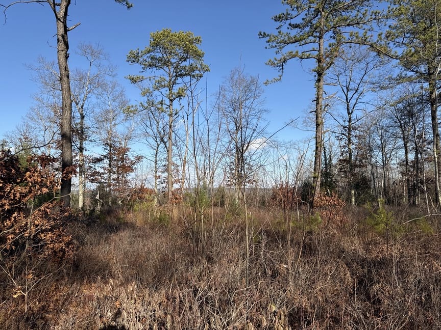
I spent a little time looking for a Geodetic Survey marker with no luck, and also thought about setting up near the summit, so I spent time scouting a spot. In the end it was too brushy and I turned on my heel and headed back in the direction that I'd come, aiming for a high spot on a ridge that I'd noticed on the way up.
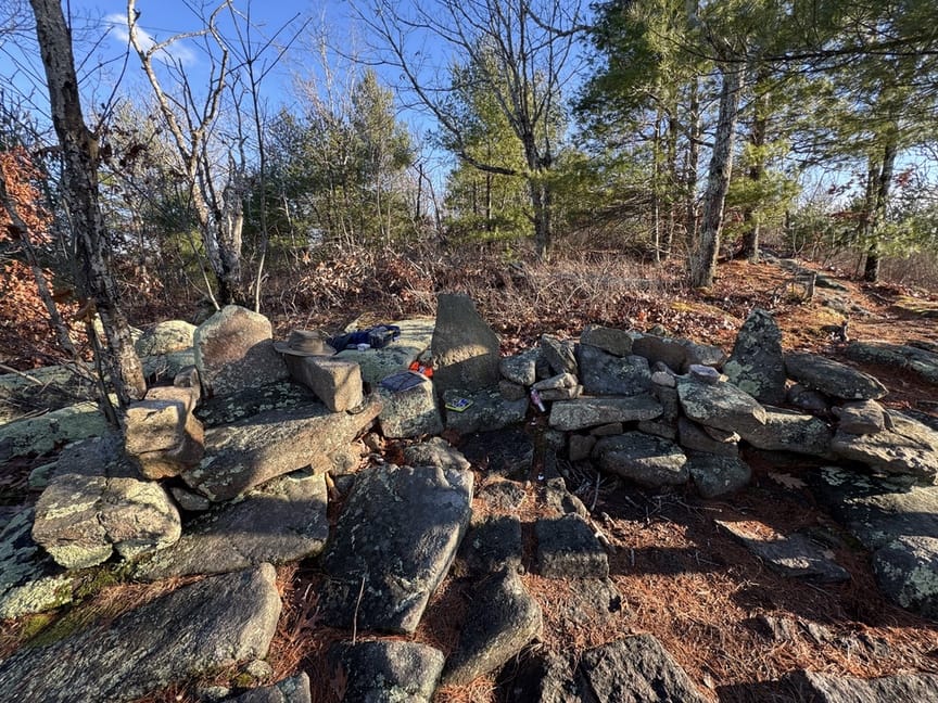
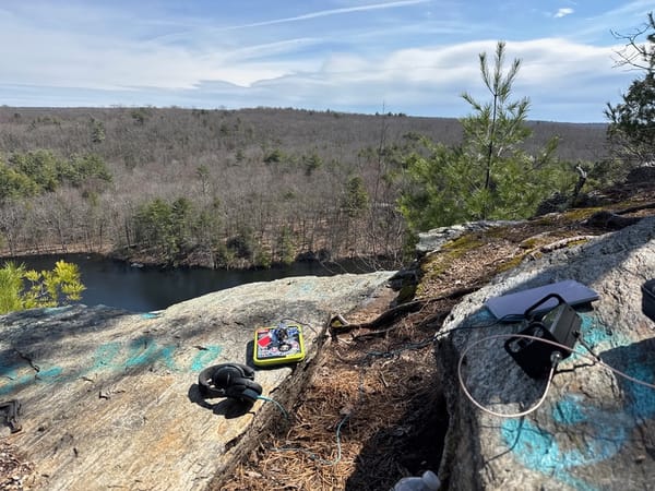
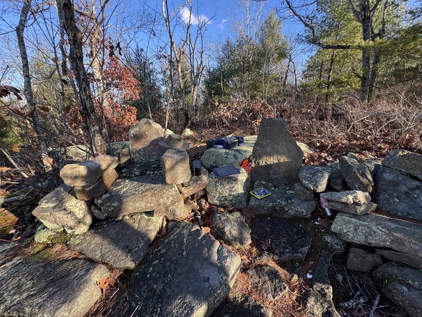
What had caught my eye was not only the beautiful view to the south and west, but a set of four stone thrones in a semicircle around a small fire pit! These are clearly modern, but what a treat. Like Goldilocks I tried each seat in turn until I found the one that felt just right, and it even had a little shelf to put the IC-705 onto.
A lot of work had gone into this setup and it made me think that I should do something similar at my 'home' park, US-8383 Wrentham SF. I'm there a lot, usually in the same area near its summit, and I'll make a chair and table out of stone to operate from in 2025.
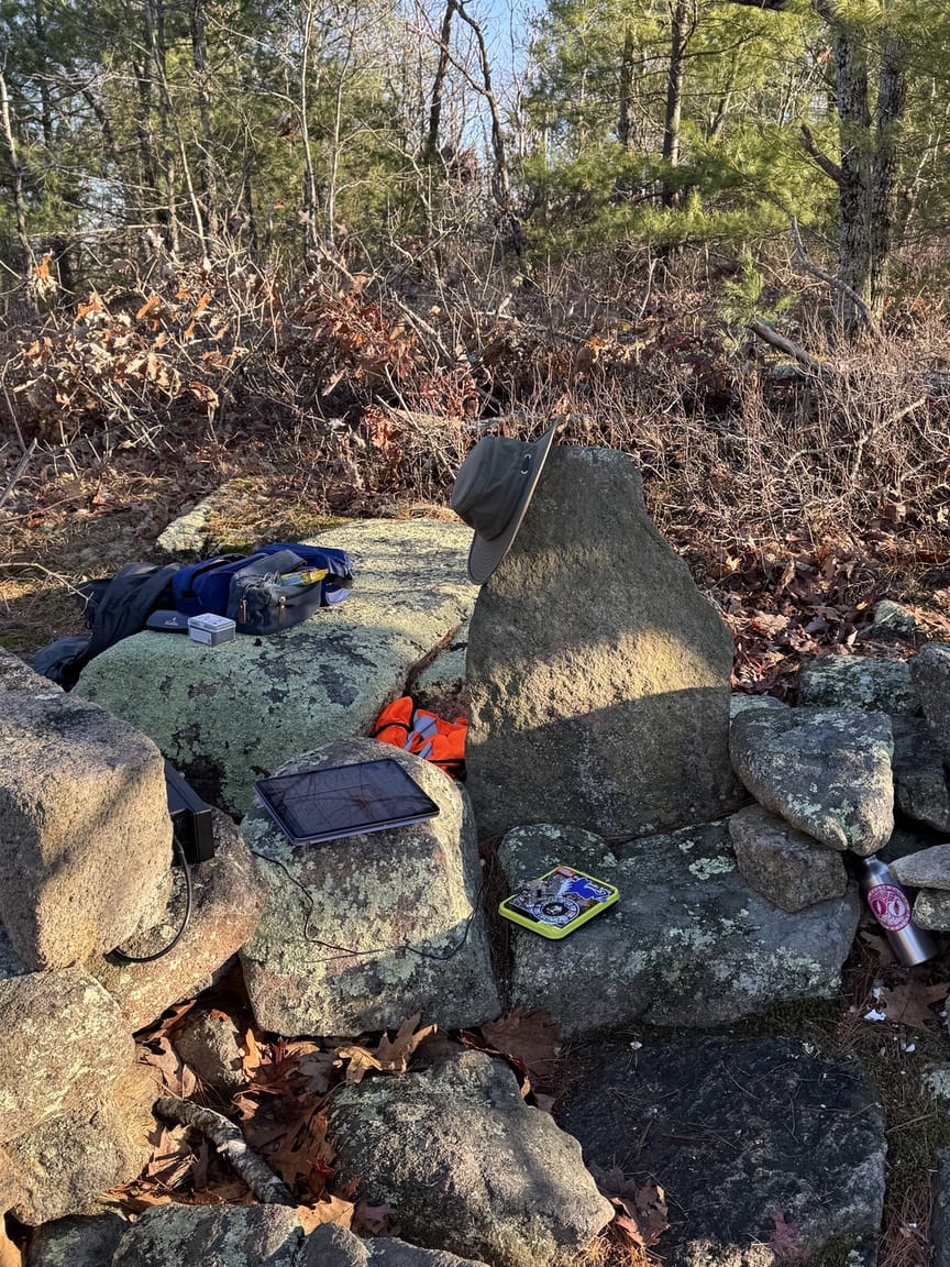
I sat facing the sun and watched hawks play in the updrafts while I worked 21 states, 4 DX entities, and 3 Canadian provinces on 10, 15, 20, and 40m with the EFHW wire, a total of 43 QSOs. I tried 6m, as I always do, with no luck. I don't know why, but it took forever to get the wire up. I think it was that I tried to force the location based on sitting in one of the stone seats, rather than picking a spot to sit based on the antenna location. It was worth the trouble, though – the chair was really comfortable and I just leaned back and had some lunch and enjoyed the beautiful day.
The return trip was a little quicker, since it was mostly downhill from the throne room. I laughed out loud when I turned one corner and saw what looked like a sheer drop. It wasn't, of course, it was just an illusion, but made for a great photo.
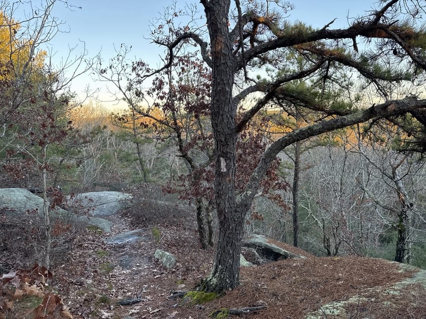
Heading back toward the car I noticed a few more spots where a natural earthen bank had been fortified with stone. I'm really curious about this part of the park and its history, especially being so close to the bay, which was a magnet for people stretching back into the Paleolithic era. There's a published Paleolithic site a few miles upstream from here on the Blackstone River. I could feel the oldness of the place, not a scientific measurement at all, but the result of spending a lot of time in the woods examining and mapping stone structures. I'll set up my base at the Stone Throne.
