US-2464 Whitehall State Park
Bring a ruler along to make sure that you are within the park boundaries at this lake-is-the-park site.
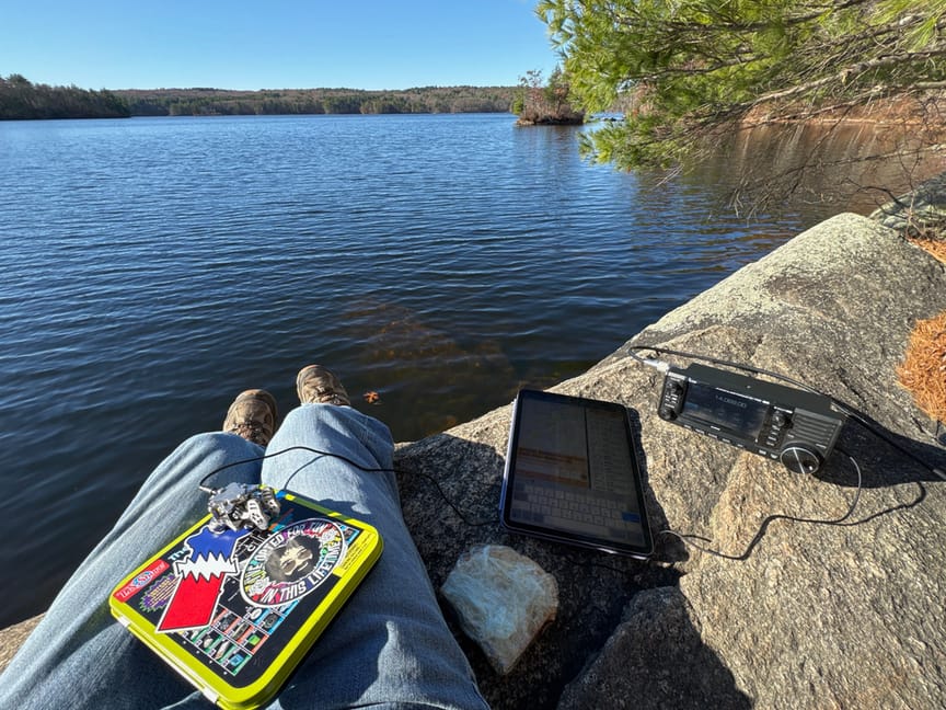
Whitehall is one of the small handful of parks in my area that I've spent some time at in my pre-POTA life, kayaking on the reservoir and hiking the six-mile loop trail. I'd already spent some quality time here and had an idea of where I wanted to operate from going in.
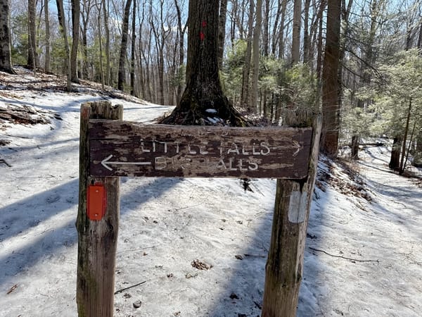
The park is well-marked and easy to find, on a major road, and has plenty of parking. Since this is really more of a lake than a park, there's a wide boat ramp and spots to stow trailers. There are two trailheads, one to the left and one to the right facing the lake. The two paths are pretty similar in terms of terrain, and it is a loop around the lake, so you'll end up back at the parking area no matter which direction you start out from. I usually go clockwise here, starting to the left, since I'm usually not walking the loop and the left path is a bit prettier in my opinion.
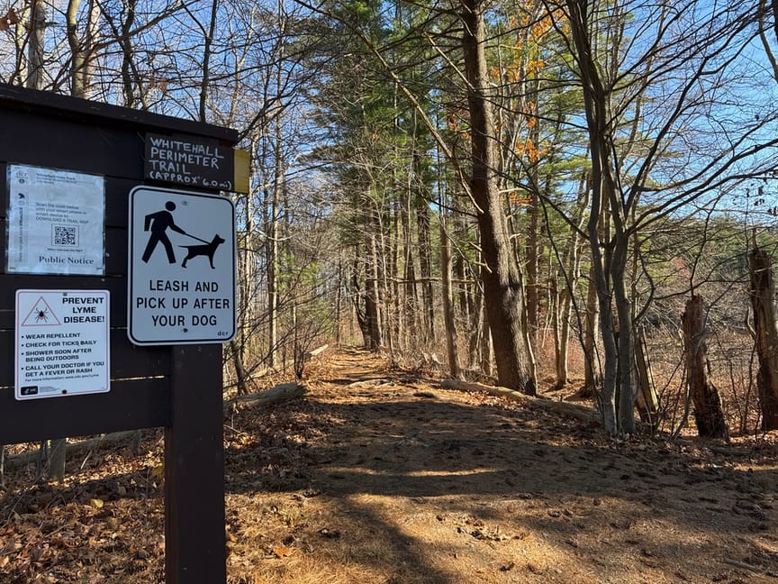
Like many parks with lakes in this part of New England, the lake itself is the park, and the actual land part is pretty narrow. For example, here I am standing maybe fifty feet from the shoreline, and you can see the boundary marker on the tree to the right.
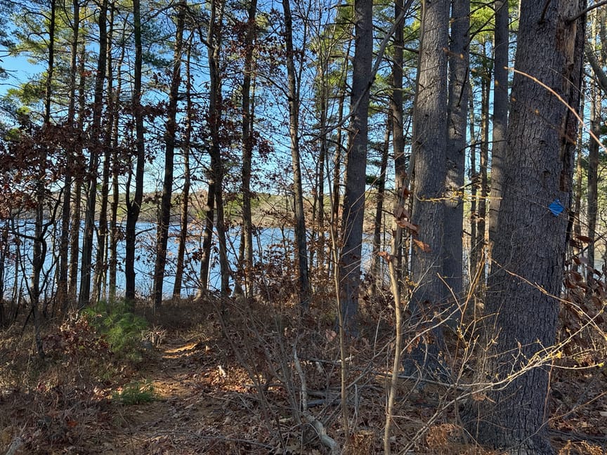
There are some wider portions of the park, it starts to open up at about the three-mile mark on the trail if you are hiking clockwise around the lake. The path itself is within the boundaries of the park, and if you operate between the path and the water you'll be just fine. Also, you aren't hiding from anyone here, and it is a very popular local hiking / biking spot, so you'll run into a few folks. One fellow sat on his bike for about five minutes watching me work CW contacts, and finally said, "Ok, I gotta ask..." I'd just worked a station in France and he was amazed that I could talk to someone so far away with the minimal gear I was using.
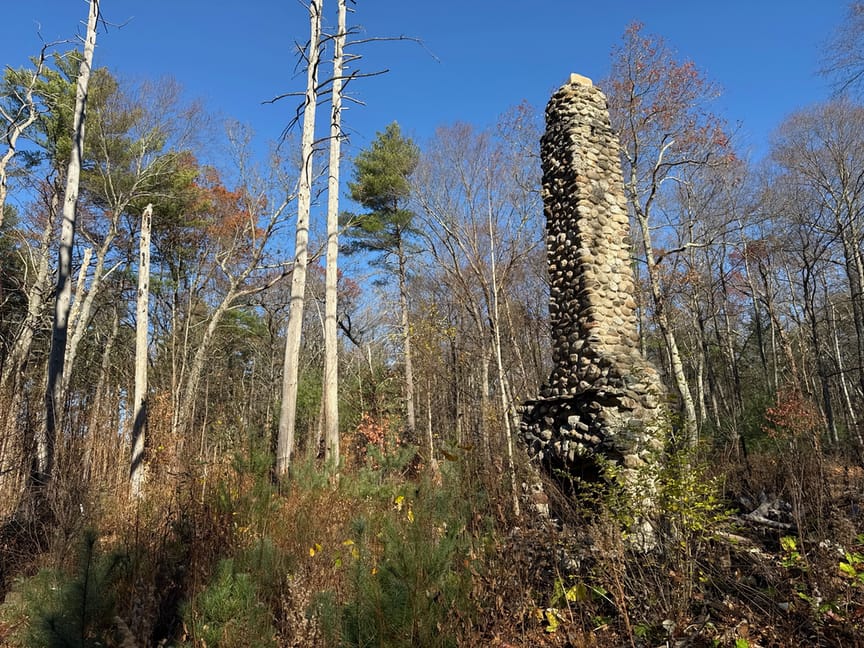
One approach you might take here is to kayak to a spot. The water is quite calm most days, and you'd be able to quickly access some of the less populated areas. If you are on foot, keep an eye out for signs of habitation, especially on the southeast side where you'll see the occasional foundation or standing fireplace.
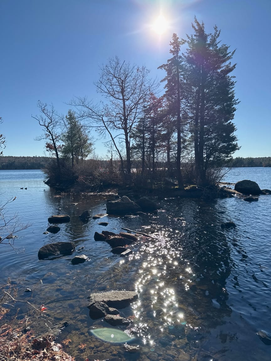
Around one mile in you'll run across a tiny island right off the shoreline. No kayak required, there are several rocks protruding from the water that can be used as stepping stones. To be honest I'd forgotten about it and was sorry I'd only brought an EFHW with me instead of the hamstick dipole...the island is way too small to hang a wire across, but the dipole would've worked a treat! Next time I'll bring the sticks along, but it did look like I could run an EFHW from the island out to the shore...
Walking past the temptation of the island, I set up just down the path, right on the water. This is a spot I've had lunch at and I was looking forward to activating from there. There's a scrubby little tree overhead, and that's where the feedpoint went, then a quick line toss and I pulled the other end up into a tree up the embankment, kind of a reverse-sloper.
I've stopped fussing with the antenna on activations, I think it's important to remember the mission – I'm there for a few dozen contacts, not to pass critical messages – and spend less time on getting things just exactly perfect. The EFHW is trimmed to resonance on five bands, so really I'm just dicking around with the feedpoint location to get the SWR into a good range for the radio. In the past I'd set things up, pull out a nanoVNA, adjust, trim, tune, repeat, all the while spending a significant amount of my time in the woods not transmitting. Now I stick it up, do a quick check to see if I'm below 2.5:1 or so, and off we go.
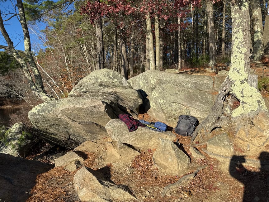
I love finding comfortable little spots to operate from. If I'm out in the woods, sometimes I'll make a little bench to sit on from a downed tree or some rocks, or I'll spread out my flannel jacket on a mossy spot and prop the radio on a stick. Here at Whitehall I tucked into a warm little rocky outcrop right on the water's edge. The sun, though low in the winter sky, warmed the rocks up nicely and I was comfortable in just a light sweater despite the 45ºF weather. And the view!
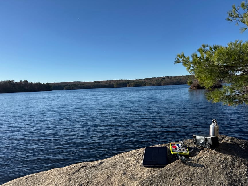
Once everything is set up, I usually operate for an hour or so. and in this activation I made 33 QSOs in 45 minutes and decided to head out. It's the time of year when the sun sets very early, and with the ridgelines in this area it starts getting dim very early. I wasn't too concerned about the light, but once the sun heads down the temperatures plummet, and it was in the mid-30s by the time I pulled into my driveway.
Whitehall is very accessible, and there's enough space to put up just about any sort of antenna. There are a few picnic tables near the boat launch, but I wouldn't count on them being available during the warmer weather. Just up the left (clockwise) path there's a small footpath to the left that leads to a lovely meadow, and there's a small bench at the top of a small rise, but to my eye it seems to be a spot for quiet reflection and I'd avoid it for an operation. Overall it's a comfortable location, and there are several nearby parks if you are looking to rove.
Take note that if you follow the path to the right instead of the left, in half a mile or so you'll see the road you came in on, and if you look across the road, you are looking into US-4712 Upton State Forest. Just sayin'.
