US-11563 Quisset WMA
I've been burned a few times visiting parks that have had only a few activations. For a while I would get intrigued and excited when I'd find a nearby location that had only been activated one or two times, but then I realized that there usually was a reason.
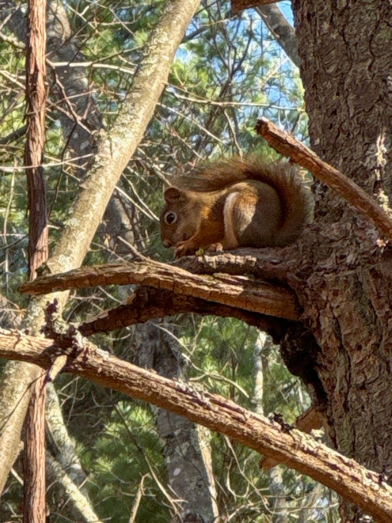
I've been burned a few times visiting parks that have had only a few activations. For a while I would get intrigued and excited when I'd find a nearby location that had only been activated one or two times, but then I realized that there usually was a reason. Looking at you, Canoe River WMA, and Hodgman State Forest, sites where I couldn't get to ten fast enough.
But then I started running into sites like this one, where there are only a few activation attempts, but the location itself is really easy to get to and beautiful to boot. I guess my theory about few activations being challenging is out the window. What's odd is that some of those low-activation spots are large, well-managed state parks, not some four-acre stand of moldering pine behind the dumpster at the local Dunkin (my best description of the afore-mentioned Canoe River WMA, at least the side I was on).
I'll admit that I was ready to assign Quisset to the Quick Ten And OUT category. Only one activation, out in the boonies, and I'm used to WMAs being unmaintained, which, of course, is their whole point. I'm just saying that I had an attitude going in.
You'll want to follow your GPS to get to this one. The turn isn't marked, but it's the only turn in the general area.
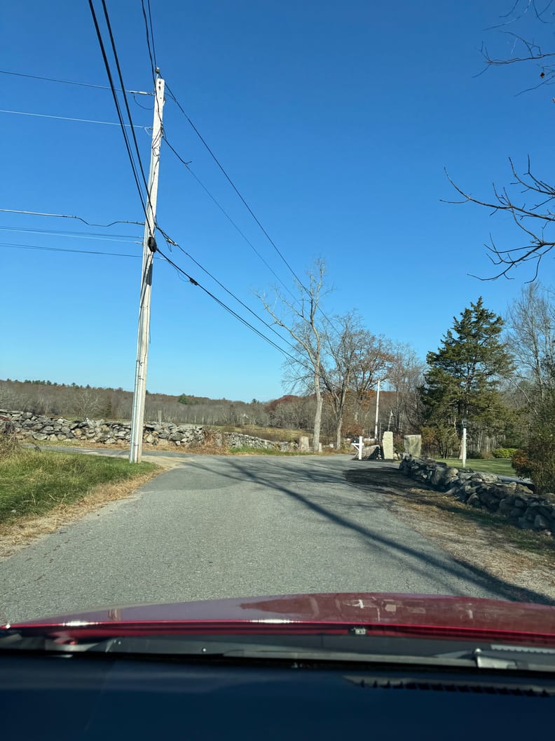
The approach to the WMA is through a lovely example of a New England rock-strewn hilly meadow, with long views across rolling hills and quaint barns for horses and cows. It's the kind of scenery you might find in a Hallmark TV movie about a New England farm girl who falls for a city slicker only to find that they are both the same after all. After a mile or so of this you'll come to what looks like the end of the road but what is really a short car path leading down to the parking area. Keep going, but slowly as there are exposed rocks.
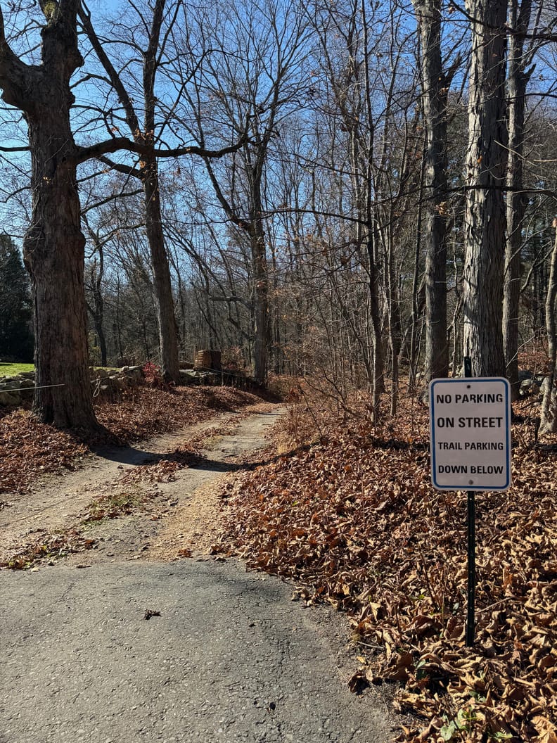
It's a short path and you'll arrive at a small parking area with room for three or four cars, depending on how courteous people are being. Like the path, there are exposed rocks that might snag your undercarriage, so take care when parking.
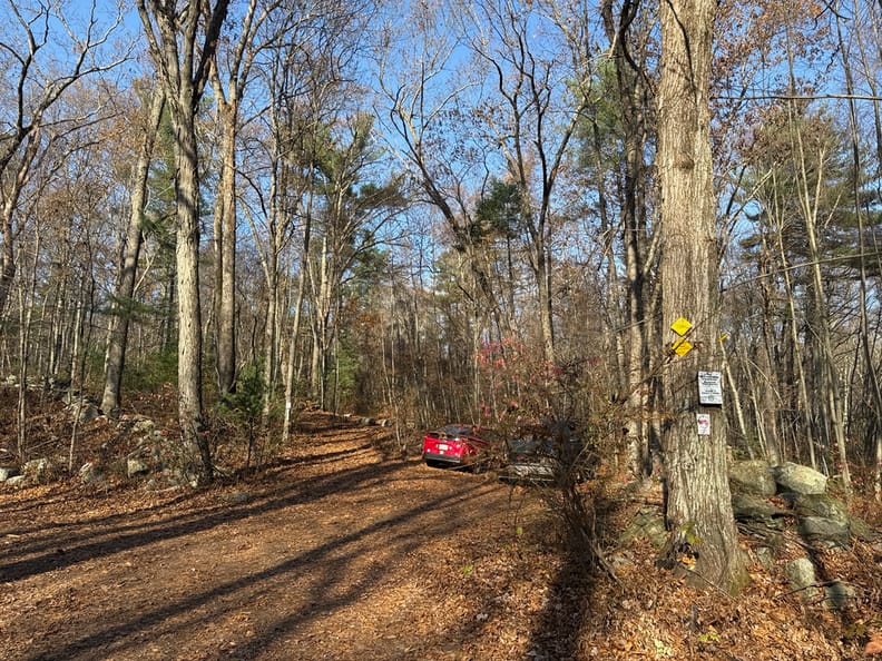
Wildlife Management Areas around eastern Massachusetts are popular hunting destinations, as I suppose they are everywhere. We are in fall bow-hunting season right now and I've run into a few hunters and a lot of tree stands and cameras. It's so tempting to climb up someone's tree stand to attach an antenna, but so far I've resisted. Think about it, I'm parked up on top of some dude's stand CQing away, and only one of us is carrying a weapon!
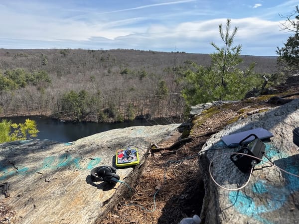
The main trails here are few but wide and actually appear to be maintained. At least the first section near parking seems to be a popular dog-walking spot, and one of the trails is an official "Hiking Challenge" trail sponsored by the MA Department of Conservation and Recreation. I walked about 15 minutes into the woods and settled on a spot near a nice stone wall, an open area with mainly hardwoods mixed with a bit of pine. Dead pines are really great masts, they tend to be tall and straight and have stubs of branches spaced 6-12" apart all the way up. Close your eyes and throw a line at a tree like that and you won't be disappointed.
I wasn't sure what to expect in terms of tree density and quality, thinking about my EFHW wire, so I also brought along a 20m hamstick dipole. I was glad that I did, even thought the spot I picked was just fine for a wire, with plenty of spacing, I took the easy route and hoisted the dipole into a tree. There were just a few pines here, so I picked where I wanted to sit and then looked up to see what branch was convenient.
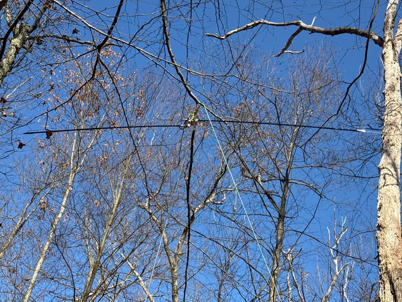
It turned out to be all that I needed. I settled onto twenty meters around 14.060, spotted myself, and then just sat and worked stations for forty minutes as they dropped by. This was the first time that I didn't make any FT8 contacts at all. My typical operation to this point had been to set up the radio, start calling CQ on FT8, and then finish setting up and maybe wander around a bit exploring. Once I'd made ten I'd switch to CW.
What I've learned, and I don't know why it took so long, is that I'm much more efficient making CW QSOs than FT8. I can do 60 QSOs an hour on CW on a good day and clinch an activation in just 15 to 20 minutes of operating. What FT8 offers, though, is the opportunity to explore my surroundings – I use SDR-Control to run my iPad in that configuration, and it auto-logs contacts, so once it is set to call CQ it'll just run until you tell it to stop. But this particular activation was a turning point for me, and I now start on CW, then decide if I want to explore or not, switching to FT8 if I do. There are some parks that I'm not that interested in beyond the activation, but others have a lot of very interesting things to look at – old mines, abandoned buildings, breathtaking views – and that's part of POTA for me, seeing those new places.
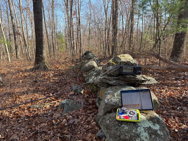
Part of the reason for CW-only on this journey was that I was trying out Ham2K's Portable Logger (PoLo), newly released for iOS, which I'll review here on PN&R in the near future. PoLo makes it SO EASY to run POTA CW (and presumably voice) that I just never felt the need to do anything else. I like the logger a lot, and I'm seeing more and more top-tier POTA activators using it. It works for Field Day, too, just sayin'. I like the maps that it produces...

I had doubts going in to this operation based on the low number of previous activations (one), but it turned out to be one of my favorite spots this season and I'll definitely go back to it for general hiking. Usually when you see a network of stone walls, there's going to be some kind of evidence of house and barn foundations, wells, outbuildings, and so on, and it's really interesting to explore the woods and see how it was used in the past.
Thanks to everyone who stopped by for a QSO!
