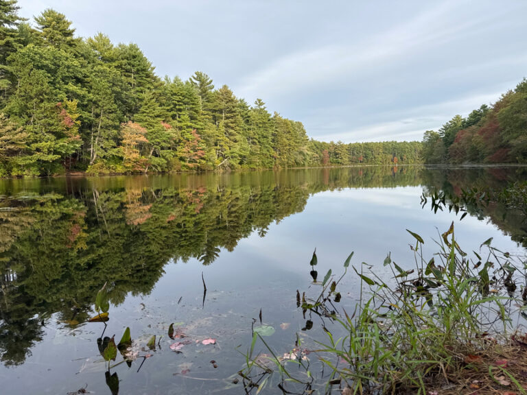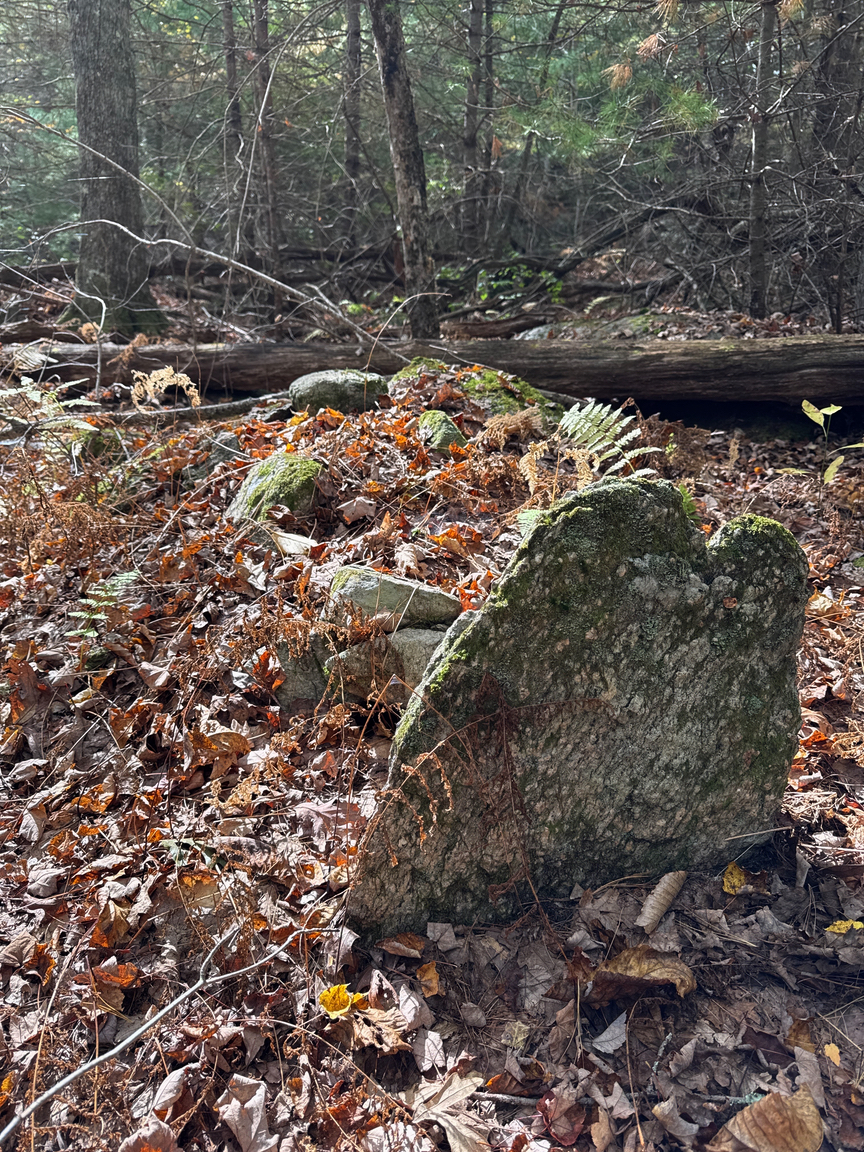
I’m not sure that I’ve ever been in the woods with more dead people than at Wickaboxet. For the most part they are a quiet bunch, mainly settler families who came here starting around 1750 to what was then the western edge of the Rhode Island territory. The land was cheap and relatively close to water resources, with freshwater ponds dotting the landscape, but so, so rocky, and the soil was just thin glacial till sitting on granite.
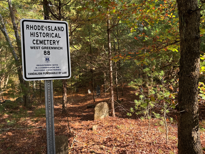
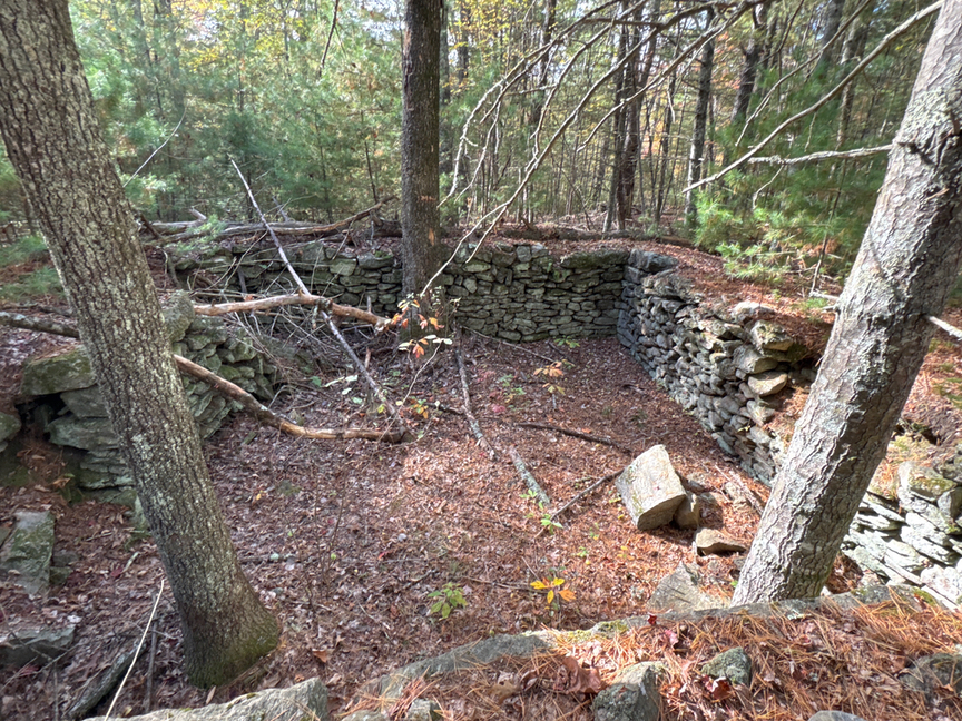
The part of the park that I explored is a patchwork of homesteads, their long-abandoned fields, foundations, and cellars marking the spot that most practiced subsistence farming and small-scale quarrying. It was not an easy life at all, and most were not successful. There are almost as many grave sites in the park as cellar holes, most recognized and registered by the state, but quite a few folks buried their dead on their property, and you’ll also see the occasional grave out in the woods.
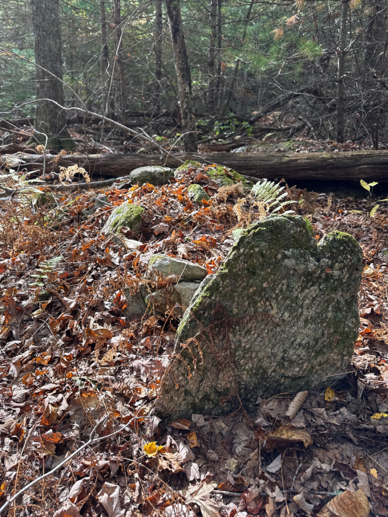
Marked and unmarked graves in US-5482.
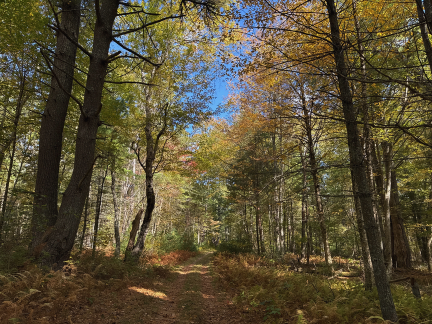
Most settlers had moved on by the early 1800s, but a resurgence in sheep farming swept over the region, and by 1820 the land was absolutely covered in low stone walls defining sheep pastures. I walked for nearly five hours through the forest and was never out of sight of a stone wall. It’s astounding how many there are. The sheep craze didn’t last long, though, and even if it had there just wasn’t a lot of arable land here, and by the mid 1850s the last holdouts had died or moved on to better lives somewhere else.
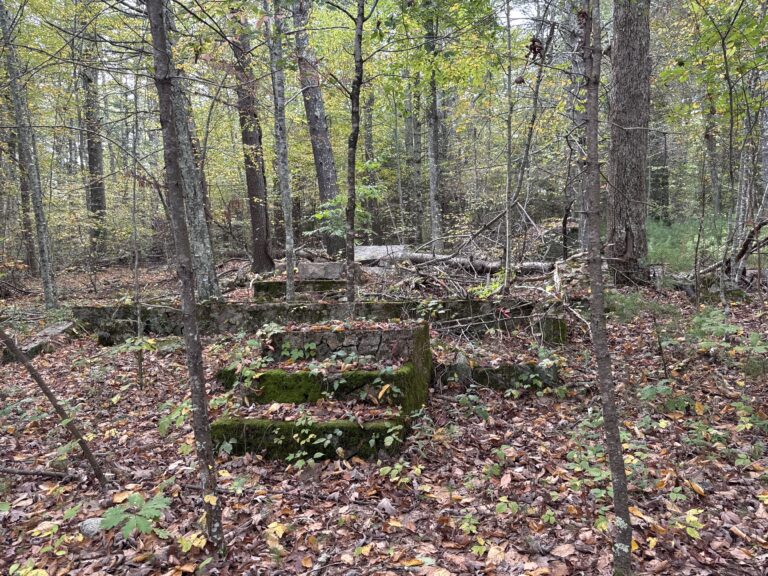
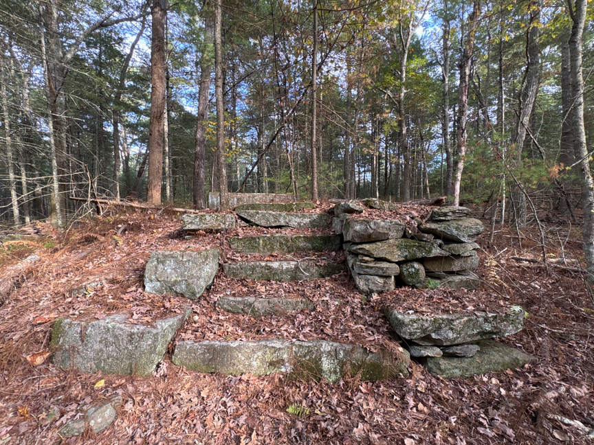
This grand staircase led to the first floor of what would have been a large home:
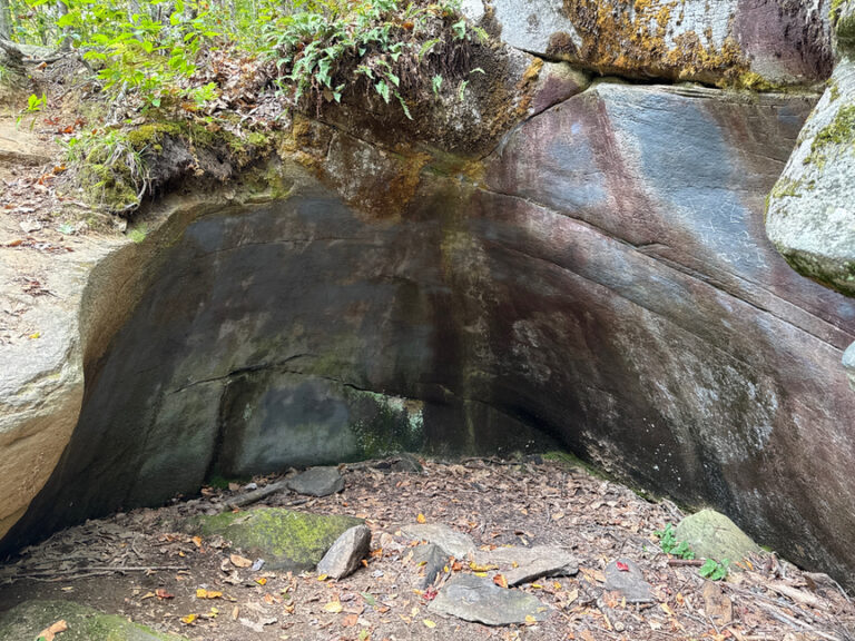
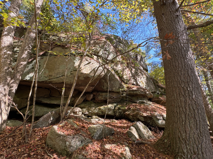
The predominate geology here is granite, a coarse variety rich in feldspar. Large veins of milky quartz cut through the granite, prized by settlers and indigenous peoples, and you’ll see the occasional outcrop of pegmatite, the ash left behind by cooling magma. Non-quartz formations are typically schists and gneiss. Granites tend to peel off in layers, a process called exfoliation, and they form typical rounded domes at outcrops, like the one at Rattlesnake Ledge.
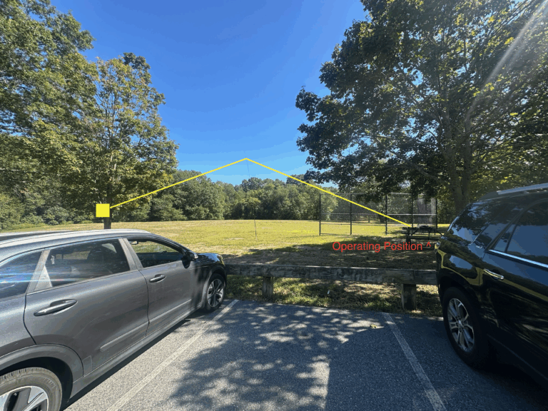
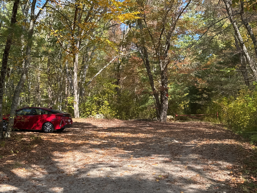
I parked on the south side, along Plain Meeting House Road. This parking are is a small cut on the side of the road, and easy to miss. You can set the GPS to Big John’s Christmas Trees, which is about a quarter of a mile up the road.
The direction of your hike matters here. From the parking lot, if you look ahead and slightly to the right, you are looking at Wickaboxet WMA. Turn slightly to the left and now you are looking in the direction of Tillinghast Pond WMA, which is not a POTA reference for some reason. The trails from the parking lot trailhead go in both directions, so stay to the right as you head in, and be sure to check your map to be certain that you are in the correct park when you activate.
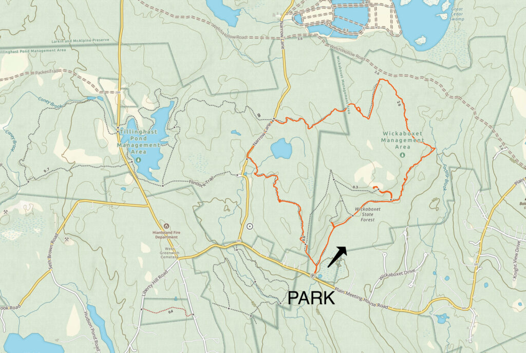
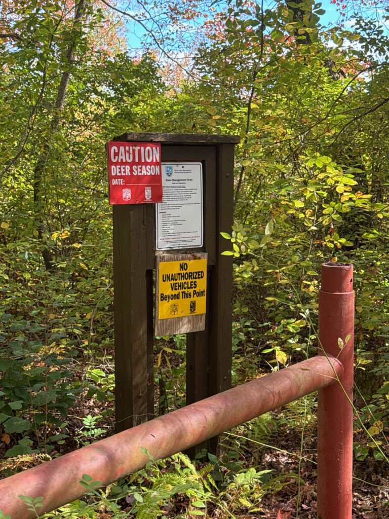
One more thing before you leave the parking lot: Did you remember your orange vest or hat? My visit was in October, and we’re into hunting season…time to orange up when you head into the woods.
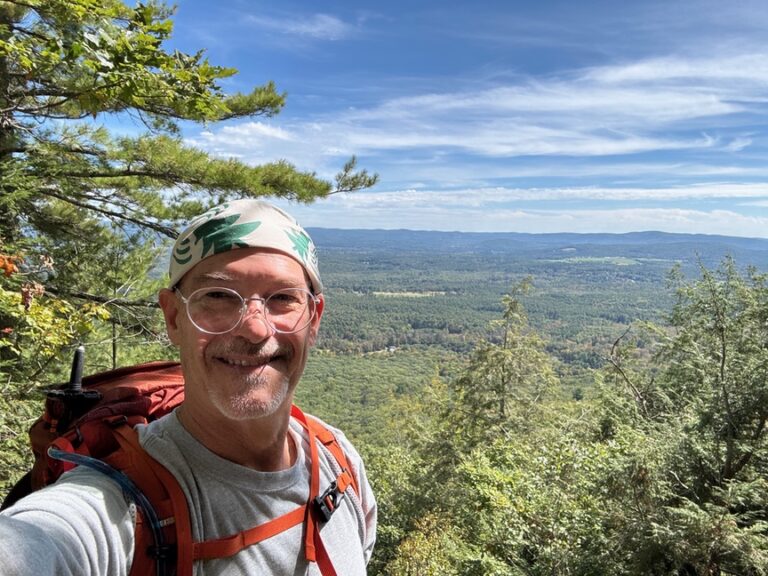
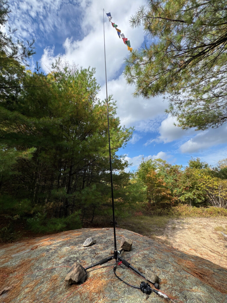
The trails through Wickaboxet are well-marked and well-maintained, except for one small spot where the path just vanished into a sea of leaves with no blaze in sight. I spent about five hours wandering the woods, inspecting cellar holes and graves, and at last came across what looked to be the high point in the park, up on top of a granite outcrop. The remains of a fire tower’s foundations were nearby, a reminder that this was a state forest well into the 1900s.
I carried my 17′ whip for this activation, a REZ Antenna Systems [Z]-17. It collapses to 25 inches and fits perfectly in my backpack. The vertical is mounted on Gabil’s GRA-ULT01 MK-III tripod, a big name for a tiny but rugged mount. I’ve started to use the vertical more than my 40m EFHW, mainly because I don’t usually know if the terrain I’m heading into is suitable for a wire. I’m often in forested areas where the trees are pretty tight and there isn’t a lot of room to toss a wire. I can almost always find a spot to poke a vertical in the air, though, and it works pretty well on 20m and 17m and works well enough on the other bands.
Operating from RI always seems to give me a +6dB boost in my signal, and on this occasion I spotted on 20m, tossed out one CQ, and then worked a steady stream of hunters. Once I’d hit 15 QSOs I roamed the bands and worked a handful more on 12m, 15m, and 30m. It was great to say hello to several POTA friends, including W5KEB, KC0UJC, and N1BS. I lingered on the bands longer than I usually do, just enjoying a marvelous 80ºF October afternoon.
The walk out along soft pine trails and endless stone walls had me thinking about all of the people who had been here before me — ancient peoples at the end of the last ice age, indigenous populations like the Naragansett and Nipmuc, who shared some of this territory, and of course the settlers trying to scrape a living out of the hard ground.
Wickaboxet is on my short list of parks that I’d like to spend more time in. There is so much history here, but it’s all jumbled up, with multiple timelines weaving in and out of the landscape. There are multiple stories here, and I think they are all interesting. I’ll be back to listen to a few more soon.