
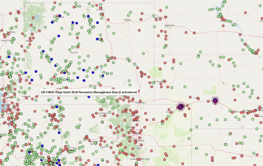
Activating an ATNO — All-Time New One — is a special treat. There aren’t many left, for one thing. There are only a handful remaining in New England, in fact just one in Massachusetts, US-11486 Sunderland Islands WMA in the middle of the Connecticut River. It isn’t too far into the river, and I know of a few plans to activate it soon.
On the POTAMap you can identify ATNOs in two ways. On the map excerpt below, dark blue spots are parks that have zero activations — the definition of an ATNO. The purple spots are parks newly added to the system, and not all of those are ATNOs but it pays to check. The map excerpt is from an area around Colorado, Nebraska, and Wyoming, where ATNOs tend to be a little closer together.
There’s an excitement about activating a new park. I have done six, and for the most part they were normal locations, but no one had bothered to visit yet. I often left one of those parks wondering why it had remained unactivated for so long. A few, like US-11501 Chockalog Swamp WMA in Massachusetts, are a bit of a challenge and you can immediately see why no one has bothered. At Chockalog, for example, the entire reference is in fact a swamp, and the only reason I was able to get into it was that we’d had a prolonged drought and the ground was passable, if not dry.
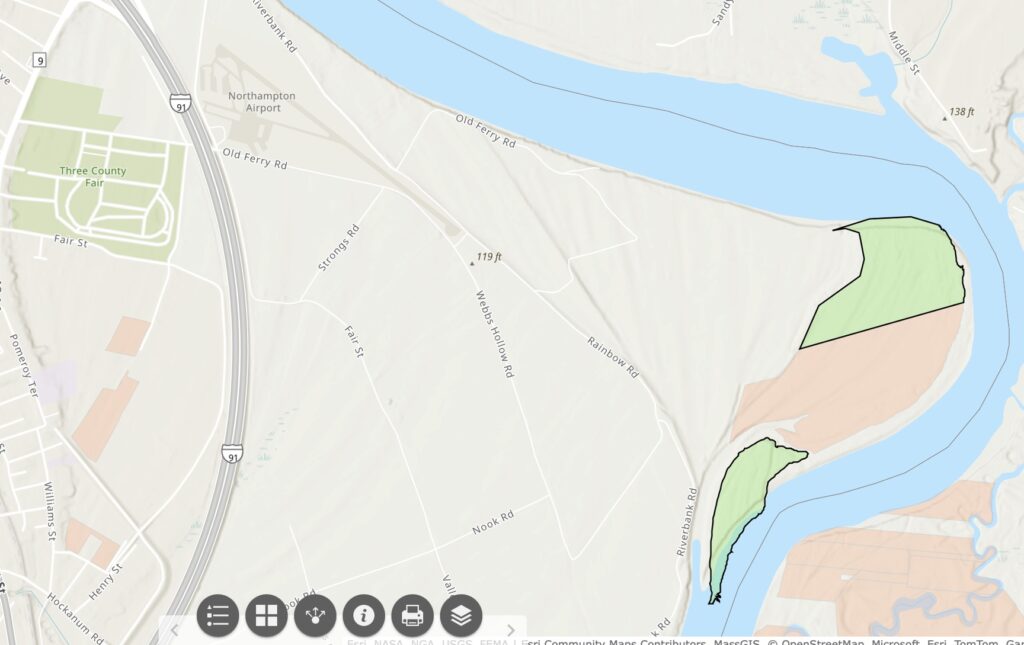
It’s a similar situation at Rainbow Beach WMA in Northampton, Massachusetts. The WMA sits along the Connecticut River and it periodically floods, making access difficult. Just finding the location can be a challenge! For the first attempt I do what I always do now, which is to bring up the POTAMap, click the reference and then Get Driving Directions. If I’m in the car this will launch a map on Apple CarPlay to direct me there.
However! As is the case with several references I’ve visited this year, the coordinates were not quite at the park, in fact this time Google Maps brought me to a kayak rental outfit on the opposite side of the river, on Middle Street. This actually wasn’t all that bad a situation, as it allowed me to take a hard look at where I was trying to get to from the other bank, and I did find that useful. The landmark you really want is the Northampton airport, a strip that I’d flown my plane into several times in the past but had never driven to.
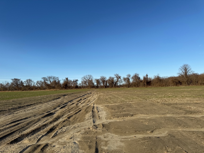
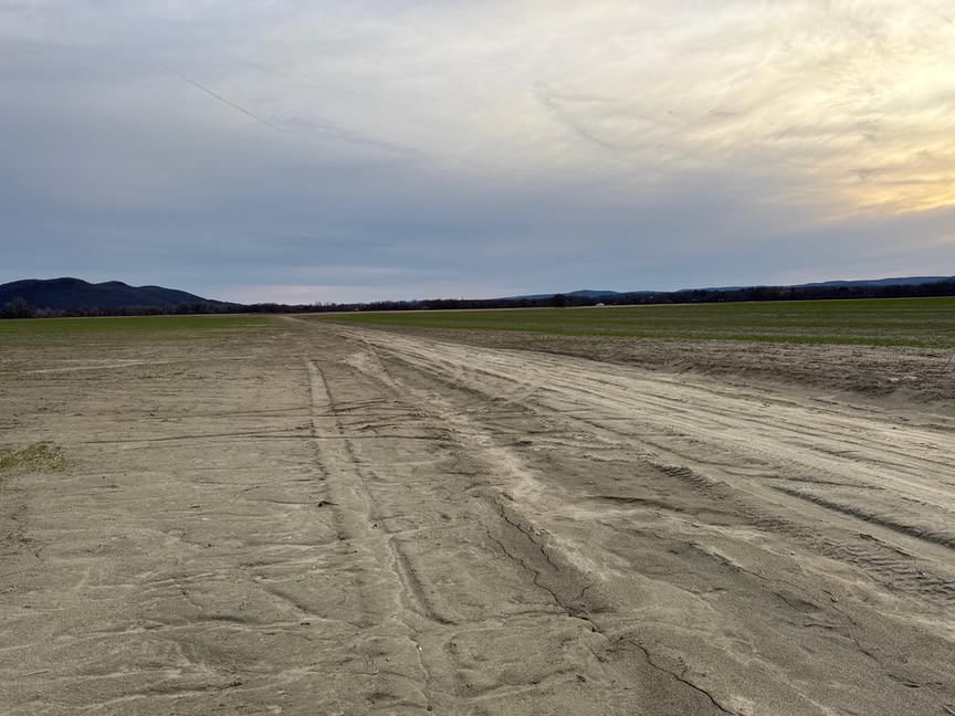
To find the WMA, go past the Northampton airport on Old Ferry Road, and then cut over to Rainbow Road. I use the term ‘road’ casually here, near the airport it is gravel, and as you get closer to the WMA it connects with a really interesting set of truck paths that criss-cross an enormous corn field. I visited in April, and the fields were bare, but I can imagine that once the plants get tall it might feel like a corn maze.
As best I could tell, all of the roads in the cornfield have names, so you might come to the intersection of Blue Tick Dog Road and Ed Barnes Road. Some are marked, and some aren’t. This doesn’t make much sense to me, but I guess that’s the way they do it in Northampton.
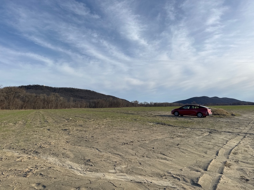
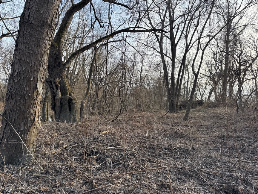
I just kept driving down roads that seemed like they were getting me closer to the WMA, all the while balancing my phone on my knee with GAIAGPS open to keep track of where the boundary was. I was able to get fairly close and parked the car next to a small hummock (so I could later find the car) and headed into a nearby stand of woods. And what do you think was on the other side of the woods? More corn fields!

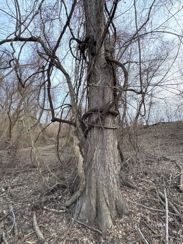
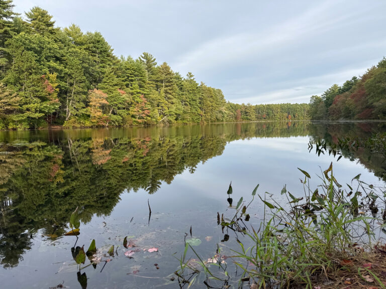
I was very close, and I began to understand why no one had come here before me. Recall that the WMA abuts the Connecticut River. There’s a channel around the WMA that forms a kind of barrier…when it is wet, the channel fills with water and it makes it really tough to get across. Here’s a look along the border, that ditch is a good 10 to 15 feet wide and I just couldn’t find a way to jump or hop on stumps and get in.
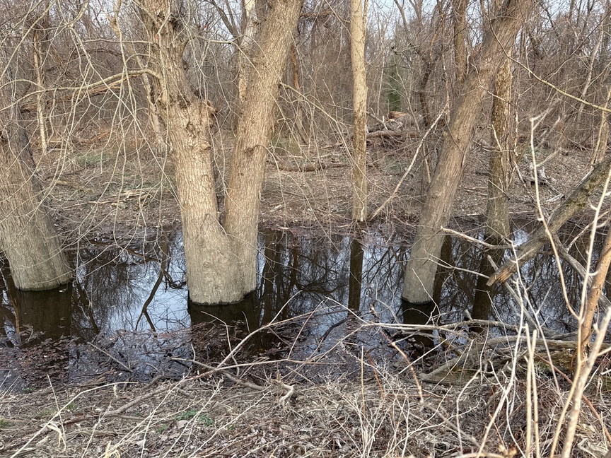
I might have been able to drop some logs in or tie a line and attempt to swing over, but it looked pretty grim. If I’d had waders with me, no problem! Maybe I should think about adding them to the pack. Waderless, I just kept walking the perimeter, working my way closer to the river. I found a spot that was a little less wet and featured a mound of dirt that I was able to hop over to, then hop with the other foot into the WMA.
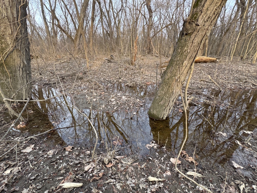
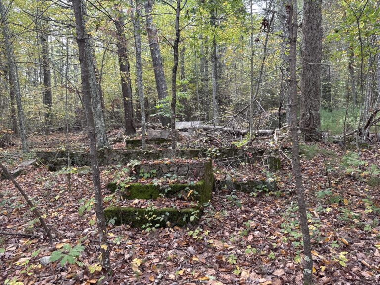
The area is every bit as bleak as the photos indicate. There was quite a bit of trash back here, old mattress springs and car parts, and plastic barrels that I had no intention of looking into. Clothing, toys, just a mess. Even the trees look angry here.
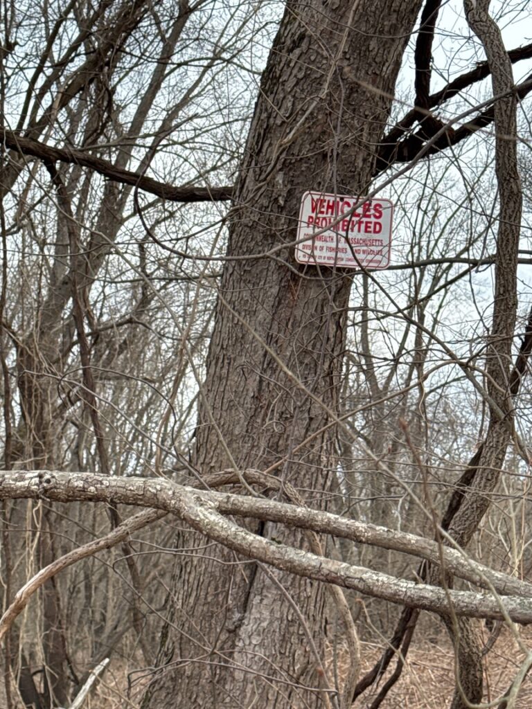
I set the rig up and spent about half an hour making 15 CW contacts, mostly on 20m. I saw a few people out and about, mostly dog walkers (or trainers) out in the corn rows, and one or two with shotguns. The WMAs in Massachusetts are prime hunting territory — do not forget to wear your orange blaze when operating in these areas. I was also pleasantly surprised by a paraglider drifting lazily over the river, far enough away that its engine sounded like an insect.
I had spent nearly all of the day at nearby US-8417 Mt. Tom State Reserve, and with the error in navigation on the first try, dusk was settling in when I finally pointed the car out of the corn and back into civilization with another ATNO in my log.


One Response
Love it as usual