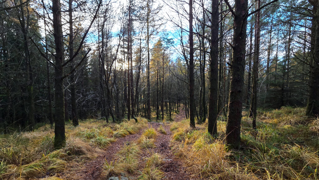
State forests is something new to the POTA program in Norway, where the absolute majority of parks are nature reserves. NO-3259 Myklebust/osli State Forest is a very small one compared to the majority of them, but it is also a heavily used one. Located near the city of Stavanger, Norway’s oil capital, it is a popular hiking destination with a seemingly endless amount of small trails crisscrossing the forests and open areas within the boundaries.
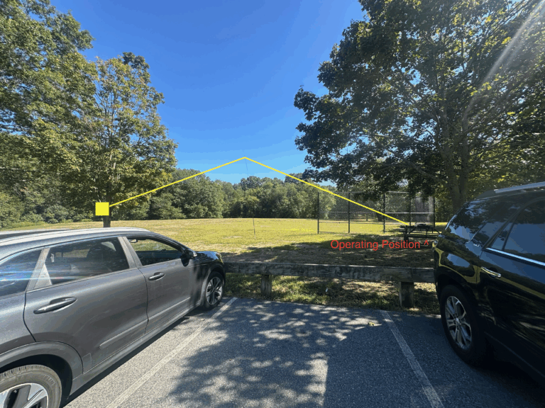
The forest is easily accessible from many sides, I chose to take the main road up to Melsheia, where there’s ample free parking available. Along the road you’ll find the scout house of 1. Sandnes scout group, the local orienteering group’s house and a rollerski biathlon track that’s very popular due to the general lack of snow this close to the coast.
From the main road you get easy access to two POTA’s (so far), NO-3255 Høyland State Forest and NO-3259 Myklebust/Osli State Forest. Myklebust/Osli offers a varied terrain, with both easy and steep tracks heading in and around Steinfjellet Mountain, where I did my activation. This is sadly too low to be a SOTA, that is covered by the nearby Vedafjellet, LA/RL-063, which is sadly outside the boundaries.
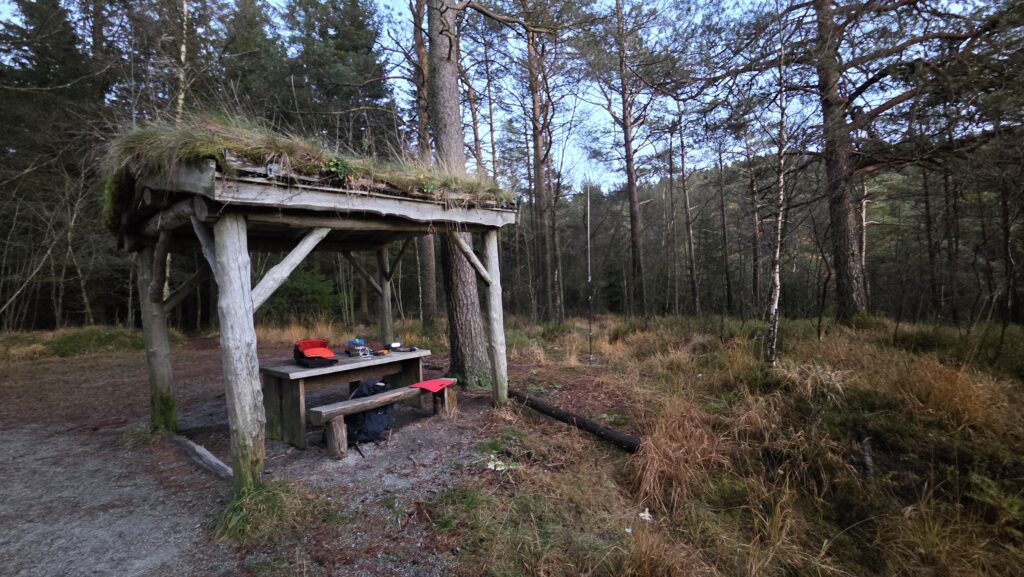
NO-3255 Høyland State Forest has a combination of easy-to-reach gravel tracks and heavier trails. It also has a lot of benches with roofs so that you can easily activate in heavier weather.
As with all nature in Norway, the area is open for free access to everyone. Since this is a small forest close to cities there’s no hunting, although the agency that owns it (“Statsskog”) sells hunting and fishing licenses in most of their areas.
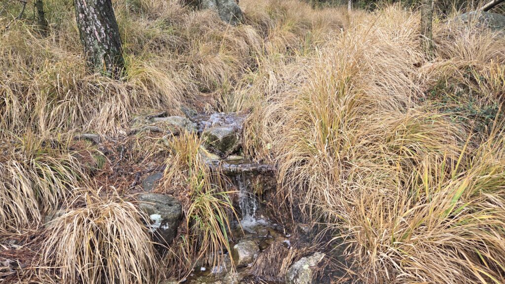
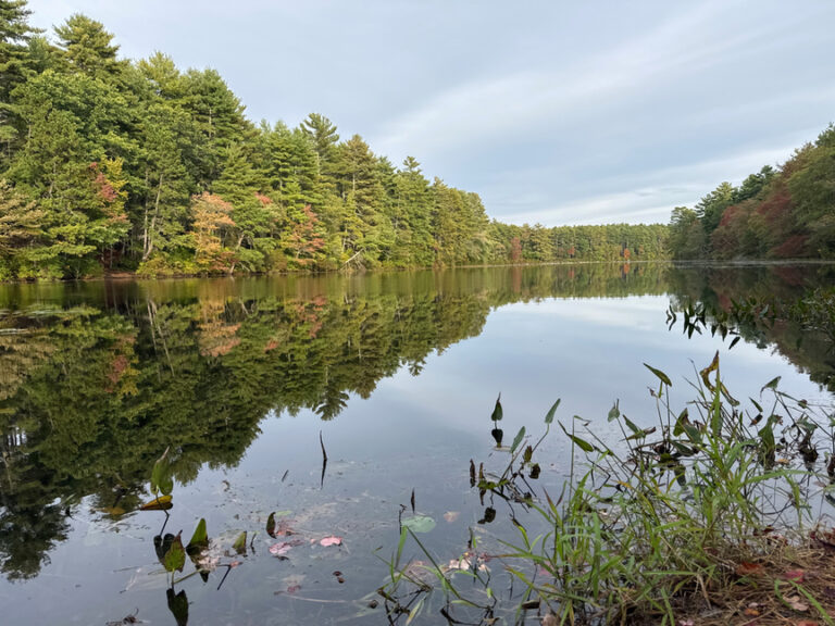
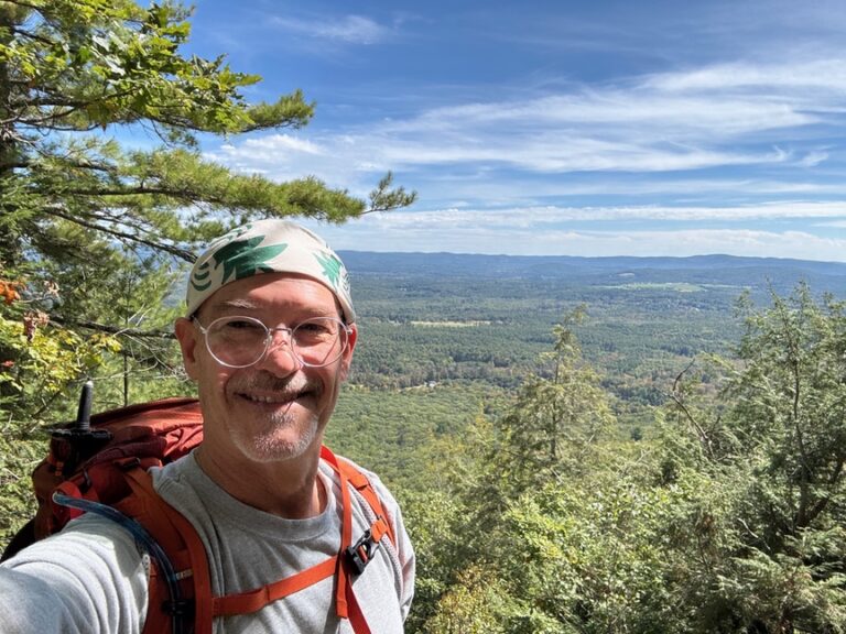
For my activation I chose to hike up to the summit of Steinsfjellet (“Rock mountain”). This is a pretty trivial hike of about 1km and 77 elevation meters, which took me about 25 minutes. We recently had heavy rain, so everything was covered in mud, with small streams running down some of the trails. The view from the summit is pretty nice, but it’s limited due to the forest around it.
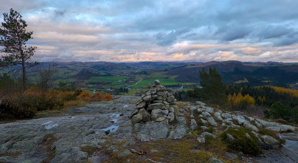
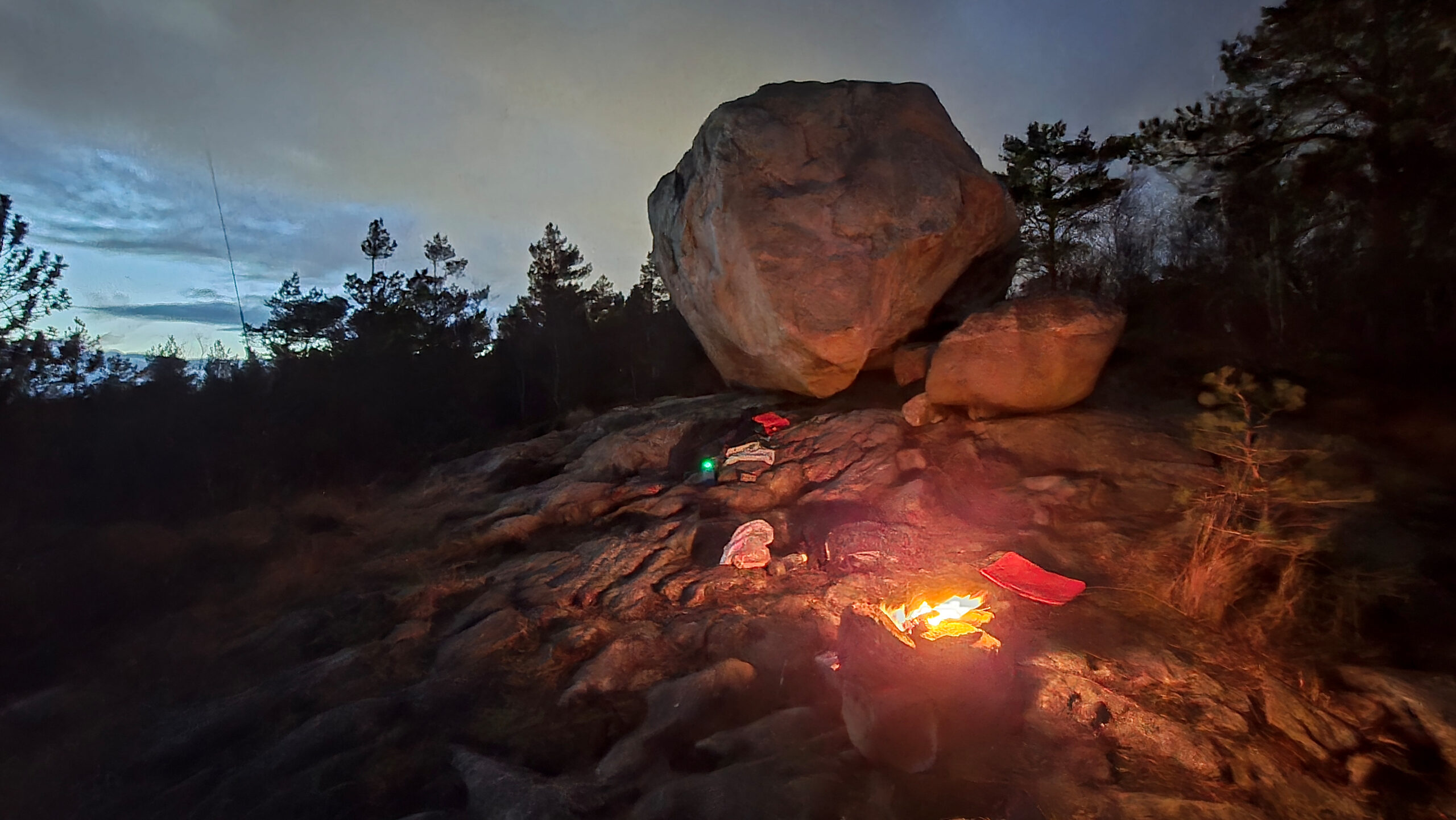
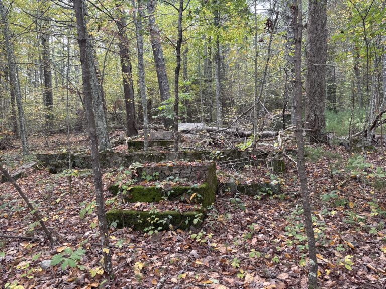
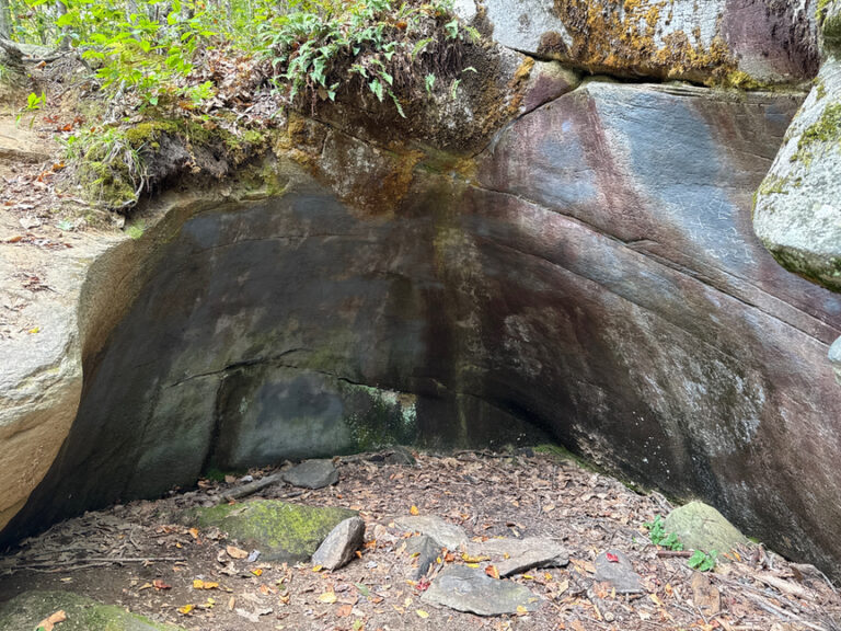
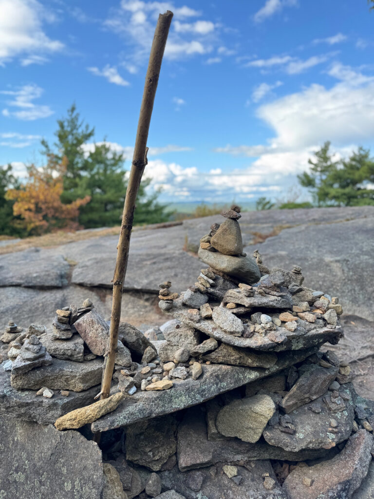
The area was formed by glaciers during the last ice age, and you’ll find a lot of “rolling rocks” or “erratics” almost wherever you walk. I rigged up next to one of the largest one, a massive boulder just below the summit of Steinsfjellet.
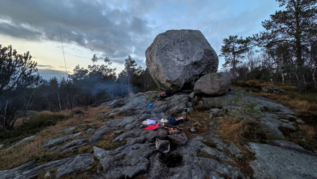
Since this was a relatively short hike I chose to bring my 100W Yaesu FT-891 rig, with a ~100Wh LiFePO4 battery and a JPC-12 antenna, as well as firewood for a camp fire and some hot dogs for dinner. The radio is pretty standard for my “easy” activations, when going for a heavier hike or a SOTA I generally revert to my G90 with a lighter battery pack.
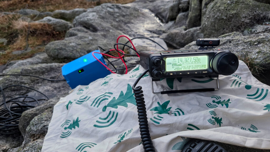
I started my activation about half an hour before local sunset, which was at 16:45 that day. I started on 17 meters, which had been really good the day before. I was not disappointed, and got 30 SSB QSO’s on that band, including a few DX (out of Europe) QSO’s. After that I switched to 15 and 20 meters, which gave me respectively 6 and 14 extra SSB QSO’s.
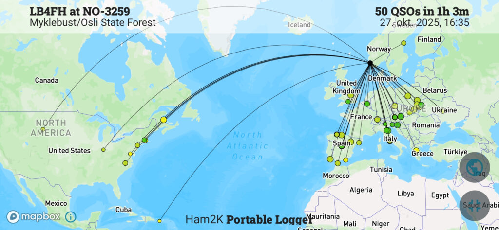
In total I ended up with 50 QSO’s, three P2P QSO’s in 18 countries and 6 US states in just over an hour, not bad for a short trip into the forest.
If you are interested in seeing more about the activation and area I have a video version of this review.

2 Responses
Man I love that top picture, I can almost feel the warmth!
Waw!